
File:Relief map of California.png

Size of this preview: 523 × 599 pixels. Other resolutions: 209 × 240 pixels | 419 × 480 pixels | 681 × 780 pixels.
Original file (681 × 780 pixels, file size: 647 KB, MIME type: image/png)
| This is a file from the Wikimedia Commons. Information from its description page there is shown below. Commons is a freely licensed media file repository. You can help. |

|
This map image could be re-created using vector graphics as an SVG file. This has several advantages; see Commons:Media for cleanup for more information. If an SVG form of this image is available, please upload it and afterwards replace this template with
{{vector version available|new image name}}.
It is recommended to name the SVG file “Relief map of California.svg”—then the template Vector version available (or Vva) does not need the new image name parameter. |
Summary
| Description |
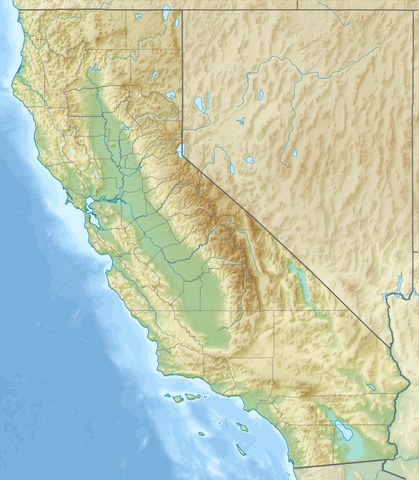
Русский: Физическая карта Калифорнии (США).
English: Relief map of California, USA. |
| Date | |
| Source |
|
| Author | Nzeemin |
| Other versions |
|


Licensing
I, the copyright holder of this work, hereby publish it under the following license:
This file is licensed under the Creative Commons Attribution-Share Alike 3.0 Unported license.
- You are free:
- to share – to copy, distribute and transmit the work
- to remix – to adapt the work
- Under the following conditions:
- attribution – You must give appropriate credit, provide a link to the license, and indicate if changes were made. You may do so in any reasonable manner, but not in any way that suggests the licensor endorses you or your use.
- share alike – If you remix, transform, or build upon the material, you must distribute your contributions under the same or compatible license as the original.
File history
Click on a date/time to view the file as it appeared at that time.
| Date/Time | Thumbnail | Dimensions | User | Comment | |
|---|---|---|---|---|---|
| current | 20:22, 21 December 2016 | | 681 × 780 (647 KB) | Jeanjung212 | Lossless Compressed/optimized png decreasing file size by 115184 bytes |
| 16:03, 14 October 2012 |  | 681 × 780 (760 KB) | Nzeemin | mask for Mexica | |
| 08:55, 14 October 2012 |  | 681 × 780 (760 KB) | Nzeemin | User created page with UploadWizard |
File usage
The following 56 pages use this file:
- 1906 San Francisco earthquake
- 1989 Loma Prieta earthquake
- 1994 Northridge earthquake
- Alaska Airlines Flight 261
- Brea, California
- Camarillo, California
- Campbell, California
- Carmel-by-the-Sea, California
- Ceres, California
- Chula Vista, California
- Coalinga, California
- Compton, California
- Concord, California
- Covina, California
- Desert Hot Springs, California
- Don Edwards San Francisco Bay National Wildlife Refuge
- El Centro, California
- El Monte, California
- Fresno, California
- Fullerton, California
- Gabilan Range
- Hawthorne, California
- Irwindale, California
- La Mirada, California
- Lake Elsinore, California
- Long Beach, California
- Los Angeles
- Malibu, California
- Montebello, California
- Monterey, California
- Mount Whitney
- Oxnard, California
- Palm Springs, California
- Palmdale, California
- Pasadena, California
- Port Hueneme, California
- Porterville, California
- Redding, California
- Redwood National and State Parks
- Ridgecrest, California
- Runyon Canyon Park
- Sacramento, California
- San Francisco
- Santa Ana, California
- Santee, California
- Sinking of MV Conception
- Soledad, California
- Stockton, California
- Tracy, California
- Victorville, California
- West Covina, California
- West Hollywood, California
- Yucaipa, California
- Module:Location map/data/California
- Module:Location map/data/USA California
- Module:Location map/data/USA California/doc
Global file usage
The following other wikis use this file:
- Usage on af.wikipedia.org
- Usage on ar.wikipedia.org
- Usage on ast.wikipedia.org
- Usage on azb.wikipedia.org
- لوسآنجلس
- چالفانت، کالیفورنیا
- پارکفیلد، کالیفورنیا
- سیرکل اوکس، کالیفورنیا
- پاچکو (کالیفورنیا)
- ایستاب هاب سنتر ایستادیومو
- اورلاند، کالیفورنیا
- پاسیفیکا، کالیفورنیا
- پالمدئیل، کالیفورنیا
- زکوندیدو، کالیفورنیا
- اورکا، کالیفورنیا
- پاسئیدنا، کالیفورنیا
- پریس، کالیفورنیا
- پورترویل، کالیفورنیا
- رد بلوف، کالیفورنیا
- ردینق، کالیفورنیا
- ردلاندز، کالیفورنیا
- کالاباساس، کالیفورنیا
- ویکتورویل، کالیفورنیا
- ریدجکرزت، کالیفورنیا
- کاماریلو، کالیفورنیا
- کارلسباد، کالیفورنیا
- سرز، کالیفورنیا
- هاوتورن، کالیفورنیا
- همت، کالیفورنیا
- سالیناس، کالیفورنیا
- سانتا آنا، کالیفورنیا
- لانکاستر، کالیفورنیا
- مئیدرا، کالیفورنیا
- مالیبو، کالیفورنیا
- Usage on az.wikipedia.org
- Usage on ban.wikipedia.org
View more global usage of this file.