
File:Canada Nova Scotia location map.svg

Size of this PNG preview of this SVG file: 734 × 599 pixels. Other resolutions: 294 × 240 pixels | 588 × 480 pixels | 940 × 768 pixels | 1,254 × 1,024 pixels | 2,508 × 2,048 pixels | 1,342 × 1,096 pixels.
Original file (SVG file, nominally 1,342 × 1,096 pixels, file size: 572 KB)
| This is a file from the Wikimedia Commons. Information from its description page there is shown below. Commons is a freely licensed media file repository. You can help. |
Summary
| Description |
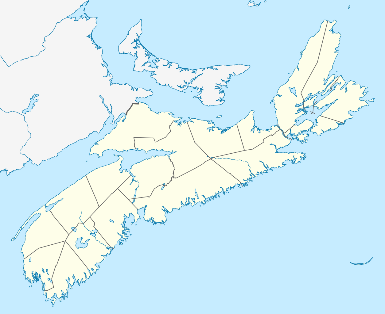
Quadratische Plattkarte, N-S-Streckung 145 %. Geographische Begrenzung der Karte:
Equirectangular projection, N/S stretching 145 %. Geographic limits of the map:
|
| Date | |
| Source |
Own work, using
|
| Author | NordNordWest |
| Permission (Reusing this file) |
I, the copyright holder of this work, hereby publish it under the following license: This file is licensed under the Creative Commons Attribution-Share Alike 3.0 Unported license.
|
| Other versions |
|


|
This map has been made or improved in the German Kartenwerkstatt (Map Lab). You can propose maps to improve as well.
|
File history
Click on a date/time to view the file as it appeared at that time.
| Date/Time | Thumbnail | Dimensions | User | Comment | |
|---|---|---|---|---|---|
| current | 14:34, 28 September 2009 | | 1,342 × 1,096 (572 KB) | NordNordWest | |
| 12:59, 25 August 2009 |  | 1,342 × 1,096 (572 KB) | NordNordWest | {{int:filedesc}} {{Information |Description= {{de|Positionskarte von Nova Scotia, Kanada}} Quadratische Plattkarte, N-S-Streckung 145 %. Geographische Begrenzung der Karte: * N: 47.3° N * S: 43.3° N * W: 66.6° W * O: |
File usage
There are no pages that use this file.
Global file usage
The following other wikis use this file:
- Usage on af.wikipedia.org
- Usage on ar.wikipedia.org
- Usage on az.wikipedia.org
- Usage on ba.wikipedia.org
- Usage on cs.wikipedia.org
- Usage on de.wikipedia.org
- Halifax (Nova Scotia)
- Annapolis Valley
- Oak Island (Nova Scotia)
- Annapolis Royal
- Pugwash
- Yarmouth (Nova Scotia)
- Lunenburg (Nova Scotia)
- Digby (Nova Scotia)
- Shelburne (Nova Scotia)
- Truro (Nova Scotia)
- Bridgewater (Nova Scotia)
- Kentville
- Liverpool (Nova Scotia)
- Wolfville
- Amherst (Nova Scotia)
- Windsor (Nova Scotia)
- Sydney (Nova Scotia)
- Centre 200
- New Glasgow
- Cape Breton Regional Municipality
- Peggy’s Cove
- New Minas
- Bedford (Nova Scotia)
- Dartmouth (Nova Scotia)
- Mahone Bay
- Chester (Nova Scotia)
- Bridgetown (Nova Scotia)
- Parrsboro
- Chéticamp
- Bras d’Or Lake
- Saint Paul Island (Nova Scotia)
- Queens County (Nova Scotia)
- North Sydney (Nova Scotia)
- Baddeck
- Five Islands (Nova Scotia)
- Inverness (Nova Scotia)
- Scotiabank Centre
- Antigonish
- Cape Breton Highlands
- Wikipedia:Kartenwerkstatt/Positionskarten/Nordamerika
- Leuchtturm Peggy’s Point
- Halifax Stanfield International Airport
View more global usage of this file.