
File:Night lights of Iran.jpg
Original file (5,630 × 5,580 pixels, file size: 2.06 MB, MIME type: image/jpeg)
| This is a file from the Wikimedia Commons. Information from its description page there is shown below. Commons is a freely licensed media file repository. You can help. |
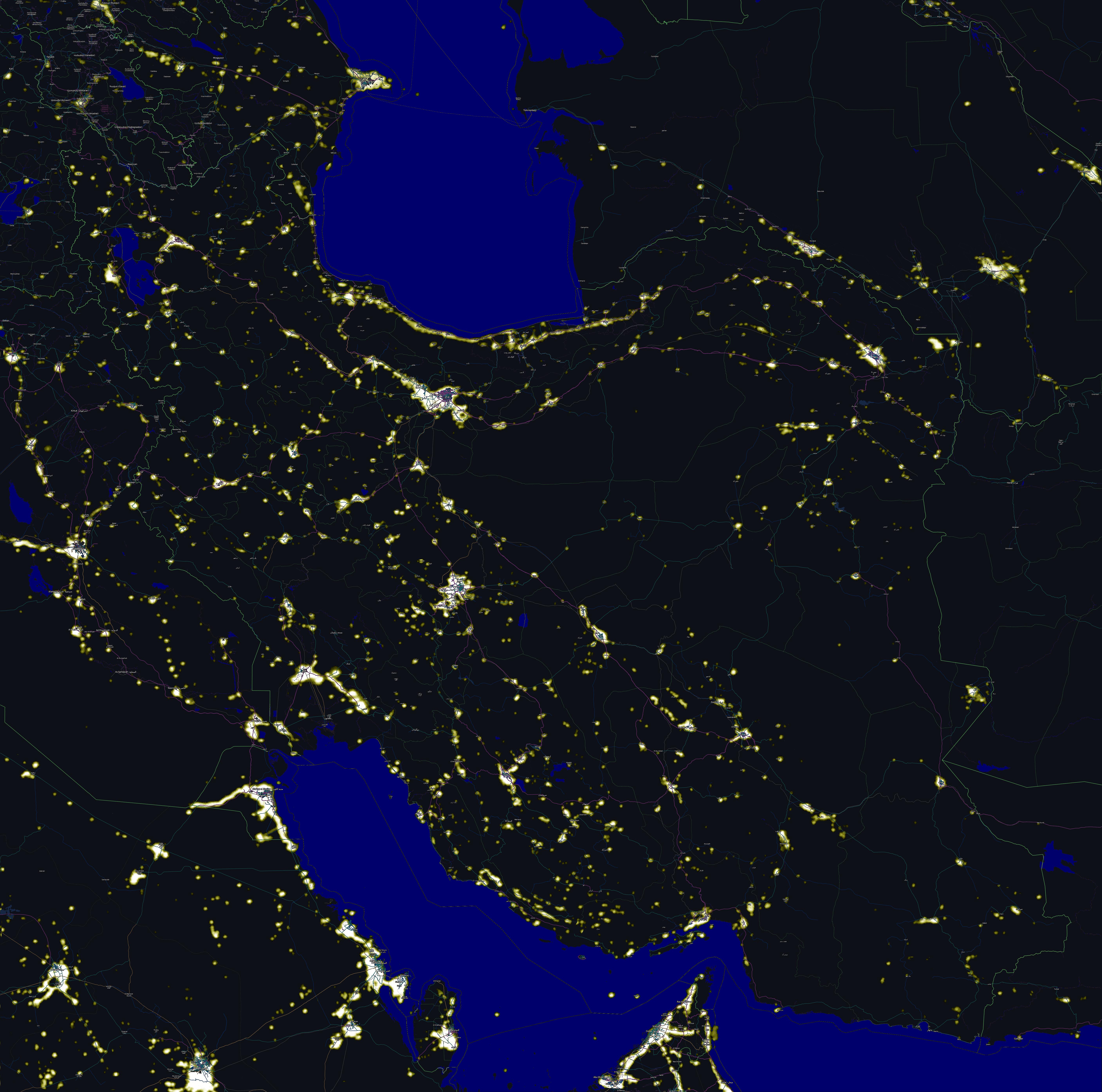
| Description | Comparing map, Night lights of Iran and The map including cities names. |
| Date | |
| Source | I have combined two pictures, one has taken from OpenStreetMap and another one is a Nasa picture can be found here |
| Author | self |
|
- You are free:
- to share – to copy, distribute and transmit the work
- to remix – to adapt the work
- Under the following conditions:
- attribution – You must give appropriate credit, provide a link to the license, and indicate if changes were made. You may do so in any reasonable manner, but not in any way that suggests the licensor endorses you or your use.
- share alike – If you remix, transform, or build upon the material, you must distribute your contributions under the same or compatible license as the original.
| Description |
This map was created from OpenStreetMap project data, collected by the community. This map may be incomplete, and may contain errors. Don't rely solely on it for navigation. |
|||
| Date | (see file history) | |||
| Source | openstreetmap.org | |||
| Creator |
OpenStreetMap contributors |
|||
| Permission (Reusing this file) |
OpenStreetMap data is available under the Open Database License (details). Map tiles are licensed under the Creative Commons Attribution-ShareAlike 2.0 license (CC-BY-SA 2.0).
This file is licensed under the Creative Commons Attribution-Share Alike 2.0 Generic license.
|
|||
| Georeferencing | If inappropriate please set warp_status = skip to hide. |
File history
Click on a date/time to view the file as it appeared at that time.
| Date/Time | Thumbnail | Dimensions | User | Comment | |
|---|---|---|---|---|---|
| current | 05:05, 4 November 2011 | | 5,630 × 5,580 (2.06 MB) | مانفی | minor |
| 02:02, 4 November 2011 |  | 5,630 × 5,580 (2.06 MB) | مانفی | minor | |
| 07:03, 2 November 2011 |  | 5,630 × 5,580 (3.58 MB) | مانفی | resolution | |
| 07:51, 22 October 2011 |  | 2,050 × 1,865 (683 KB) | مانفی | minor | |
| 12:16, 21 October 2011 |  | 2,000 × 1,860 (672 KB) | مانفی | minor | |
| 08:05, 21 October 2011 |  | 2,000 × 1,860 (674 KB) | مانفی | {{Information |Description= Night map of Iran |Source= I have combined two pictures, one has taken from OpenStreetMap and another one is a Nasa picture fan be find here |Date=20100 |Author=self |Permission= |other_versions= |
File usage
The following page uses this file:
Global file usage
The following other wikis use this file:
- Usage on azb.wikipedia.org
- Usage on az.wikipedia.org
- Usage on de.wikipedia.org
- Usage on en.wikipedia.org
- Usage on fa.wikipedia.org
- Usage on hi.wikipedia.org
- Usage on hu.wikipedia.org
- Usage on ja.wikipedia.org
- Usage on my.wikipedia.org
- Usage on nn.wikipedia.org
- Usage on uk.wikipedia.org
- Usage on zh.wikipedia.org