
File:Khaleej ajam.jpg
Original file (400 × 618 pixels, file size: 98 KB, MIME type: image/jpeg)
| This is a file from the Wikimedia Commons. Information from its description page there is shown below. Commons is a freely licensed media file repository. You can help. |
Summary
| Description |
فارسی: نقشهٔ ایران در سال 1908 میلادی othoman map of mamlekat Ajam=persia
English: The map of the Persian Empire in 1908 Egypt library alazhar university |
|||||
| Date | ||||||
| Source | http://www.parssea.persianblog.ir | |||||
| Author | ibrahim. othoman maps | |||||
| Permission (Reusing this file) |
|
|||||
| Other versions | it has a explanation in the book [1] | |||||
The map of the Persia in 1908 .
Licensing
- You are free:
- to share – to copy, distribute and transmit the work
- to remix – to adapt the work
- Under the following conditions:
- attribution – You must give appropriate credit, provide a link to the license, and indicate if changes were made. You may do so in any reasonable manner, but not in any way that suggests the licensor endorses you or your use.
- share alike – If you remix, transform, or build upon the material, you must distribute your contributions under the same or compatible license as the original.
Summary
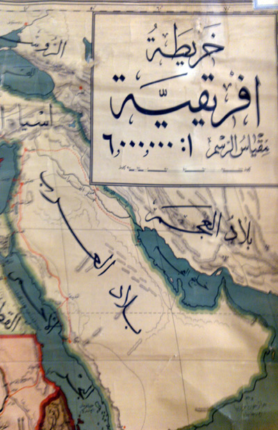
| Description |
English: خلیج عــــــــجم |
||
| Date | |||
| Source | Own work | ||
| Author | Maahmaah | ||
| Permission (Reusing this file) |
or [4] [5] I, the copyright holder of this work, hereby publish it under the following license:free for use in public mass medi a i have also published it befor for free |
Licensing
- You are free:
- to share – to copy, distribute and transmit the work
- to remix – to adapt the work
- Under the following conditions:
- attribution – You must give appropriate credit, provide a link to the license, and indicate if changes were made. You may do so in any reasonable manner, but not in any way that suggests the licensor endorses you or your use.
- share alike – If you remix, transform, or build upon the material, you must distribute your contributions under the same or compatible license as the original.
File history
Click on a date/time to view the file as it appeared at that time.
| Date/Time | Thumbnail | Dimensions | User | Comment | |
|---|---|---|---|---|---|
| current | 10:26, 29 November 2011 | | 400 × 618 (98 KB) | Maahmaah |
File usage
The following page uses this file:
Global file usage
The following other wikis use this file:
- Usage on ar.wikipedia.org
- Usage on arz.wikipedia.org
- Usage on en.wikipedia.org
- Usage on fa.wikipedia.org
- Usage on fa.wikibooks.org
- Usage on fr.wikipedia.org
- Usage on hi.wikipedia.org
- Usage on ja.wikipedia.org
- Usage on my.wikipedia.org
- Usage on pnb.wikipedia.org
- Usage on ro.wikipedia.org
- Usage on ru.wikipedia.org
- Usage on sr.wikipedia.org
- Usage on su.wikipedia.org
- Usage on tg.wikipedia.org
- Usage on tr.wikipedia.org
- Usage on tt.wikipedia.org
- Usage on uk.wikipedia.org