
File:Locator Map of Utsunomiya in Tochigi Prefecture.png
Size of this preview: 666 × 599 pixels. Other resolutions: 267 × 240 pixels | 533 × 480 pixels | 1,001 × 901 pixels.
Original file (1,001 × 901 pixels, file size: 34 KB, MIME type: image/png)
| This is a file from the Wikimedia Commons. Information from its description page there is shown below. Commons is a freely licensed media file repository. You can help. |
Summary
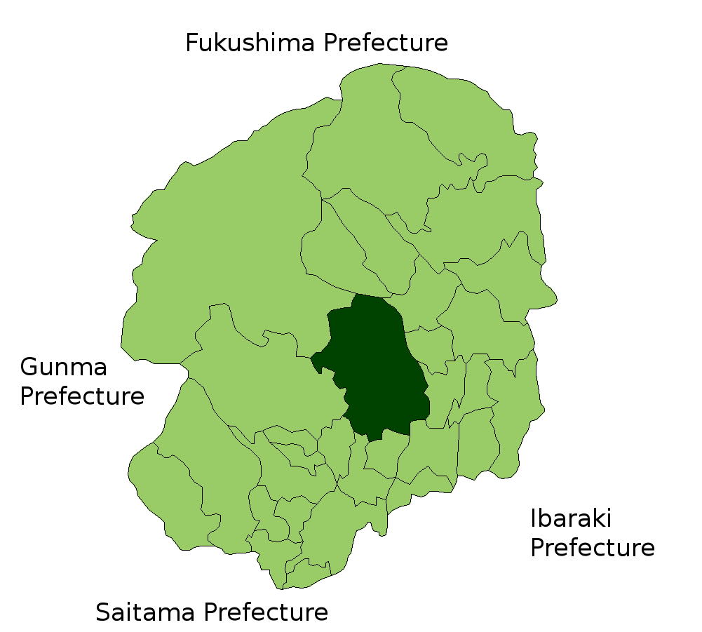
| Description | Location Map of Utsunomiya in Tochigi Prefecture, Japan |
| Date | |
| Source | Image:TochigiMapCurrent.png and rework |
| Author | user:alberth2 |
Licensing

|
Shigenobu AOKI, the copyright holder of this work, allows anyone to use it for any purpose including unrestricted redistribution, commercial use, and modification.
|
File history
Click on a date/time to view the file as it appeared at that time.
| Date/Time | Thumbnail | Dimensions | User | Comment | |
|---|---|---|---|---|---|
| current | 03:36, 13 June 2007 | | 1,001 × 901 (34 KB) | Alberth2 | == Summary == {{Information |Description=Location Map of Utsunomiya in Tochigi Prefecture, Japan |Source=Image:TochigiMapCurrent.png and rework |Date=Jun. 13th, 2007 |Author=user:alberth2 |Permission=PD |other_versions= }} == Licensing == {{PD-s |
File usage
There are no pages that use this file.
Global file usage
The following other wikis use this file:
- Usage on ar.wikipedia.org
- Usage on arz.wikipedia.org
- Usage on ca.wikipedia.org
- Usage on ce.wikipedia.org
- Usage on el.wikipedia.org
- Usage on eu.wikipedia.org
- Usage on ga.wikipedia.org
- Usage on gl.wikipedia.org
- Usage on mzn.wikipedia.org
- Usage on no.wikipedia.org
- Usage on ro.wikipedia.org
- Usage on tl.wikipedia.org
- Usage on tt.wikipedia.org
- Usage on war.wikipedia.org
- Usage on www.wikidata.org
- Usage on zh-classical.wikipedia.org
- Usage on zh-min-nan.wikipedia.org