
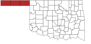
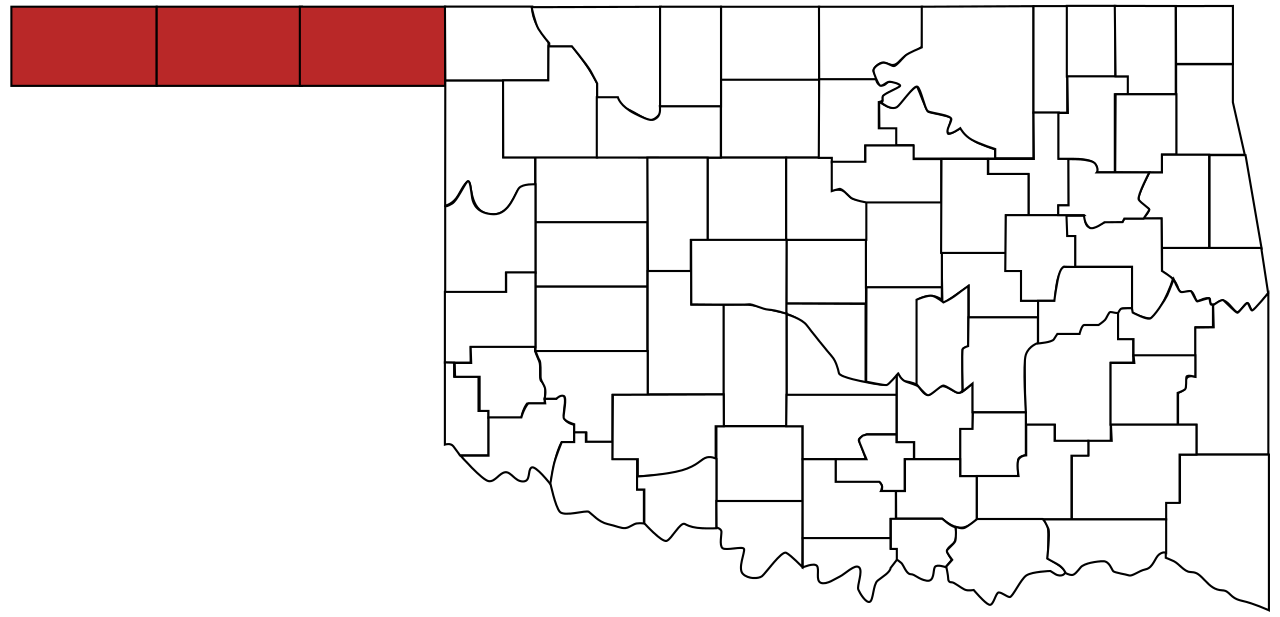
File:Map of Oklahoma highlighting Panhandle.svg

Size of this PNG preview of this SVG file: 800 × 386 pixels. Other resolutions: 320 × 154 pixels | 640 × 308 pixels | 1,024 × 494 pixels | 1,280 × 617 pixels | 2,560 × 1,234 pixels | 973 × 469 pixels.
Original file (SVG file, nominally 973 × 469 pixels, file size: 50 KB)
| This is a file from the Wikimedia Commons. Information from its description page there is shown below. Commons is a freely licensed media file repository. You can help. |
Summary
| Description |
English: The Oklahoma Panhandle |
| Date | |
| Source |
This file was derived from: Oklahoma county map.svg |
| Author | User:Derfel73; Scott Nazelrod |
Licensing
| I, the copyright holder of this work, release this work into the public domain. This applies worldwide. In some countries this may not be legally possible; if so: I grant anyone the right to use this work for any purpose, without any conditions, unless such conditions are required by law. |
File history
Click on a date/time to view the file as it appeared at that time.
| Date/Time | Thumbnail | Dimensions | User | Comment | |
|---|---|---|---|---|---|
| current | 20:49, 24 August 2011 | | 973 × 469 (50 KB) | Derfel73 | {{Information |Description ={{en|1=The Oklahoma Panhandle}} |Source ={{Derived from|Oklahoma_county_map.svg}} |Author =User:Derfel73; User:Scott Nazelrod |Date =2011-08-24 |Permission = |other_versions = }} [[Cate |
File usage
The following 2 pages use this file:
Global file usage
The following other wikis use this file:
- Usage on ar.wikipedia.org
- Usage on ca.wikipedia.org
- Usage on cy.wikipedia.org
- Usage on de.wikipedia.org
- Usage on en.wikipedia.org
- Usage on es.wikipedia.org
- Usage on fa.wikipedia.org
- Usage on fr.wikipedia.org
- Usage on fy.wikipedia.org
- Usage on ja.wikipedia.org
- Usage on nl.wikipedia.org
- Usage on no.wikipedia.org
- Usage on pt.wikipedia.org
- Usage on vi.wikipedia.org
- Usage on zh.wikipedia.org