
File:Map of Virginia highlighting Caroline County.svg

Size of this PNG preview of this SVG file: 800 × 347 pixels. Other resolutions: 320 × 139 pixels | 640 × 278 pixels | 1,024 × 444 pixels | 1,280 × 555 pixels | 2,560 × 1,110 pixels | 7,486 × 3,247 pixels.
Original file (SVG file, nominally 7,486 × 3,247 pixels, file size: 223 KB)
| This is a file from the Wikimedia Commons. Information from its description page there is shown below. Commons is a freely licensed media file repository. You can help. |
Summary
| Description |
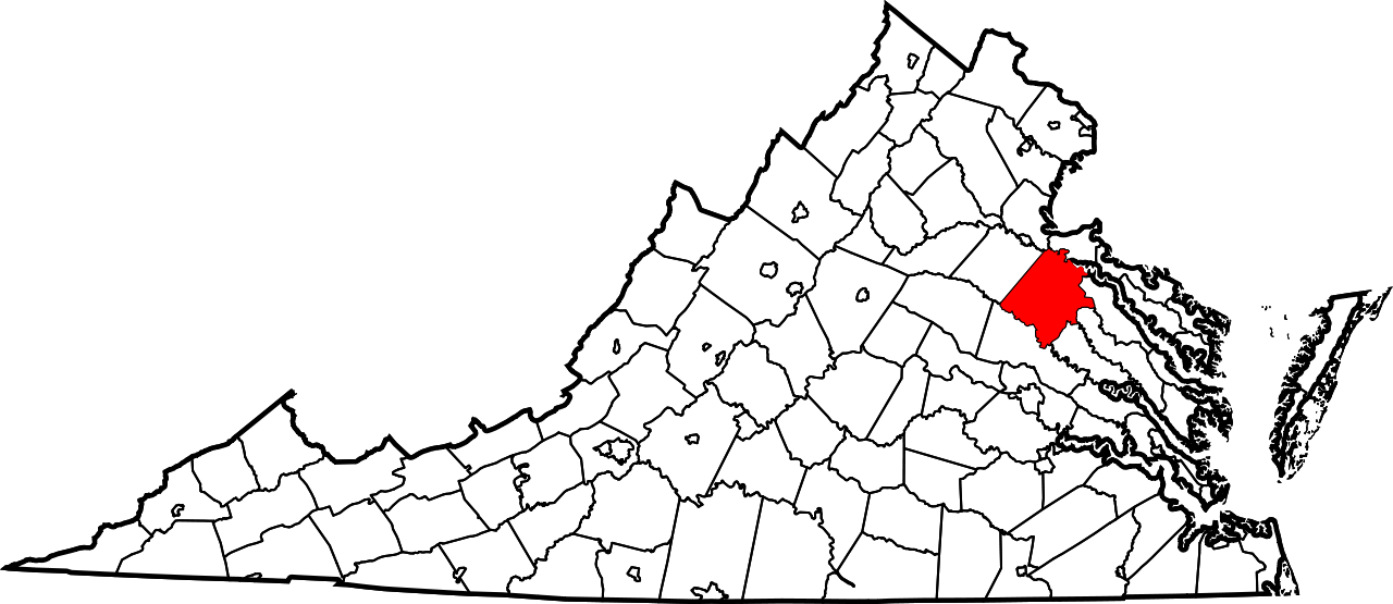
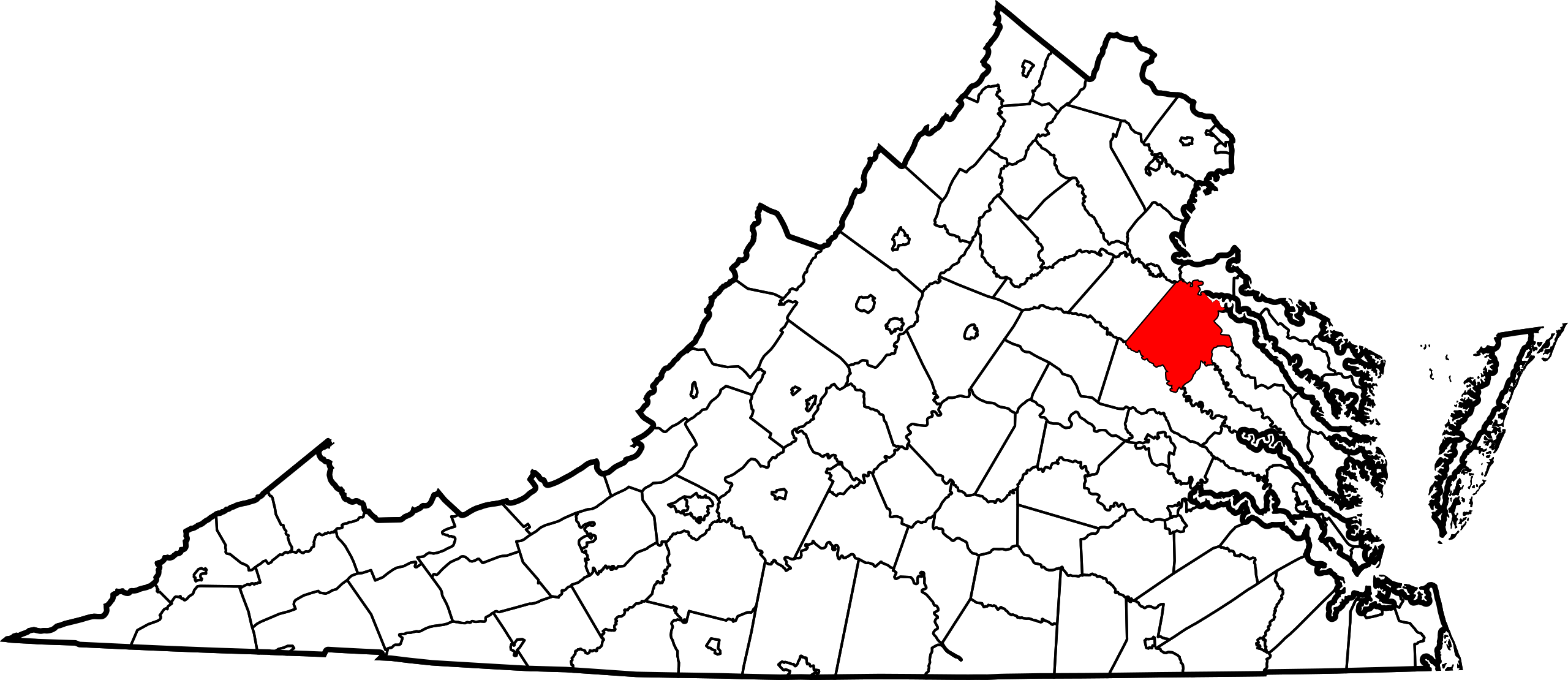
English: This is a locator map showing Caroline County in Virginia. For more information, see Commons:United States county locator maps. |
| Date | |
| Source |
Own work: English: The maps use data from nationalatlas.gov, specifically countyp020.tar.gz on the Raw Data Download page. The maps also use state outline data from statesp020.tar.gz. The Florida maps use hydrogm020.tar.gz to display Lake Okeechobee. |
| Author | David Benbennick |
| SVG development |
Licensing
| I, the copyright holder of this work, release this work into the public domain. This applies worldwide. In some countries this may not be legally possible; if so: I grant anyone the right to use this work for any purpose, without any conditions, unless such conditions are required by law. |
File history
Click on a date/time to view the file as it appeared at that time.
| Date/Time | Thumbnail | Dimensions | User | Comment | |
|---|---|---|---|---|---|
| current | 17:40, 12 February 2006 | | 7,486 × 3,247 (223 KB) | David Benbennick | {{subst:User:Dbenbenn/clm|county=Caroline County|state=Virginia|type=county}} |
File usage
The following page uses this file:
Global file usage
The following other wikis use this file:
- Usage on ar.wikipedia.org
- Usage on bg.wikipedia.org
- Usage on bpy.wikipedia.org
- Usage on cdo.wikipedia.org
- Usage on ceb.wikipedia.org
- Usage on ce.wikipedia.org
- Usage on cy.wikipedia.org
- Usage on de.wikipedia.org
- Usage on en.wikipedia.org
- List of cities and counties in Virginia
- Caroline County, Virginia
- Bowling Green, Virginia
- Port Royal, Virginia
- Category:Caroline County, Virginia
- Template:Caroline County, Virginia
- Ruther Glen, Virginia
- Ladysmith, Virginia
- National Register of Historic Places listings in Caroline County, Virginia
- User:Nyttend/County templates/VA/1
- User:LBourne/Scratch pad
- Guinea, Virginia
- Athens, Virginia
- Bagby, Virginia
- Bagdad, Virginia
- Balty, Virginia
- Baylortown, Virginia
- Blantons, Virginia
- Dawn, Virginia
- Brandywine, Virginia
- Broaddus, Virginia
- Butlers Fork, Virginia
- Caroline Pines, Virginia
- Cedar Fork, Virginia
- Cedon, Virginia
- Central Point, Virginia
- Chilesburg, Virginia
- Christopher Fork, Virginia
- Claiborne, Virginia
- Corbin, Virginia
- Daltons, Virginia
- DeJarnette, Virginia
- Delos, Virginia
- Doggetts Fork, Virginia
- Edgar, Virginia
View more global usage of this file.