
File:Pakistan districts.svg

Size of this PNG preview of this SVG file: 512 × 426 pixels. Other resolutions: 289 × 240 pixels | 577 × 480 pixels | 923 × 768 pixels | 1,231 × 1,024 pixels | 2,462 × 2,048 pixels.
Original file (SVG file, nominally 512 × 426 pixels, file size: 573 KB)
| This is a file from the Wikimedia Commons. Information from its description page there is shown below. Commons is a freely licensed media file repository. You can help. |
Summary
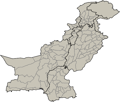
| Description | Pakistan districts |
| Source | based on Image:Pakistan tehsils.svg from user Rarelibra |
| Author | Michiel1972 |
| Other versions | Derivative works of this file: Pakistan election 2008 map.svg |
Licensing
| I, the copyright holder of this work, release this work into the public domain. This applies worldwide. In some countries this may not be legally possible; if so: I grant anyone the right to use this work for any purpose, without any conditions, unless such conditions are required by law. |
File history
Click on a date/time to view the file as it appeared at that time.
| Date/Time | Thumbnail | Dimensions | User | Comment | |
|---|---|---|---|---|---|
| current | 17:29, 28 December 2007 | | 512 × 426 (573 KB) | Michiel1972 | {{Information |Description=Pakistan districts |Source=based on Image:Pakistan tehsils.svg from user Rarelibra |Date= |Author= Michiel1972 |Permission= |other_versions= }} category:Maps of Pakistan |
File usage
The following page uses this file:
Global file usage
The following other wikis use this file:
- Usage on sr.wikipedia.org