
File:PortlandBillAndChesilBeach(Landsat).jpg

Size of this preview: 618 × 600 pixels. Other resolutions: 247 × 240 pixels | 495 × 480 pixels | 940 × 912 pixels.
Original file (940 × 912 pixels, file size: 372 KB, MIME type: image/jpeg)
| This is a file from the Wikimedia Commons. Information from its description page there is shown below. Commons is a freely licensed media file repository. You can help. |
.jpg)
| Description |
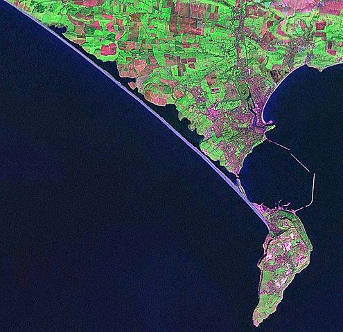
English: Screenshot from World Wind software displaying NASA Landsat imagery. The website says "The Landsat Global Mosaic, Blue Marble, and the USGS raster maps and images are all Public Domain." (http://www.worldwindcentral.com/wiki/World_Wind_FAQ) |
| Source | Satellite imagery taken from NASA World Wind software (by screenshot) |
| Author | Photograph: NASA |
Licensing
| This image is in the public domain because it is a screenshot from NASA’s globe software World Wind using a public domain layer, such as Blue Marble, MODIS, Landsat, SRTM, USGS or GLOBE.
|
 |
Original upload log
The original description page was here. All following user names refer to en.wikipedia.
- 2006-04-21 07:42 Euchiasmus 940×912× (381170 bytes) Screenshot from World Wind software displaying NASA Landsat imagery. The website says "The Landsat Global Mosaic, Blue Marble, and the USGS raster maps and images are all Public Domain." (http://www.worldwindcentral.com/wiki/World_Wind_FAQ)
File history
Click on a date/time to view the file as it appeared at that time.
| Date/Time | Thumbnail | Dimensions | User | Comment | |
|---|---|---|---|---|---|
| current | 14:24, 13 August 2009 | | 940 × 912 (372 KB) | Kordas | {{Information |Description={{en|Screenshot from World Wind software displaying NASA Landsat imagery. The website says "The Landsat Global Mosaic, Blue Marble, and the USGS raster maps and images are all Public Domain." (http://www.worldwindcentral.com/wik |
File usage
The following 3 pages use this file:
Global file usage
The following other wikis use this file:
- Usage on br.wikipedia.org
- Usage on de.wikipedia.org
- Usage on en.wikipedia.org
- Usage on et.wikipedia.org
- Usage on ko.wikipedia.org
.jpg)