
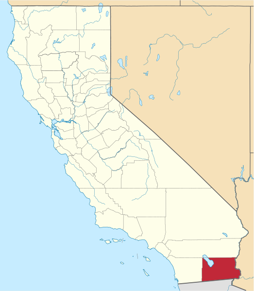
File:Map of California highlighting Imperial County.svg

Size of this PNG preview of this SVG file: 523 × 599 pixels. Other resolutions: 209 × 240 pixels | 419 × 480 pixels | 670 × 768 pixels | 894 × 1,024 pixels | 1,787 × 2,048 pixels | 1,022 × 1,171 pixels.
Original file (SVG file, nominally 1,022 × 1,171 pixels, file size: 489 KB)
| This is a file from the Wikimedia Commons. Information from its description page there is shown below. Commons is a freely licensed media file repository. You can help. |
Summary
David Benbennick made this map. For more information, see Commons:United States county locator maps.
| I, the copyright holder of this work, release this work into the public domain. This applies worldwide. In some countries this may not be legally possible; if so: I grant anyone the right to use this work for any purpose, without any conditions, unless such conditions are required by law. |
Other Versions
.svg)
File history
Click on a date/time to view the file as it appeared at that time.
| Date/Time | Thumbnail | Dimensions | User | Comment | |
|---|---|---|---|---|---|
| current | 18:28, 25 November 2016 | | 1,022 × 1,171 (489 KB) | Spartan7W | Update HQ map |
| 10:25, 12 February 2006 |  | 9,164 × 10,536 (229 KB) | David Benbennick | {{subst:User:Dbenbenn/clm|county=Imperial County|state=California}} |
File usage
The following 10 pages use this file:
Global file usage
The following other wikis use this file:
- Usage on ban.wikipedia.org
- Usage on bpy.wikipedia.org
- Usage on ca.wikipedia.org
- Reserva índia de Torres Martínez
- Calexico
- Bombay Beach
- Brawley
- Calipatria
- Desert Shores
- El Centro
- Heber (Califòrnia)
- Holtville
- Imperial (Califòrnia)
- Niland
- Ocotillo
- Palo Verde
- Salton City
- Salton Sea Beach
- Seeley (Califòrnia)
- Westmorland (Califòrnia)
- Winterhaven
- Plantilla:Comtat d'Imperial
- Llista de comtats de Califòrnia
- Categoria:Entitats de població del comtat d'Imperial
- Reserva índia Fort Yuma
- Usage on cs.wikipedia.org
- Usage on da.wikipedia.org
- Usage on de.wikipedia.org
- Usage on en.wikipedia.org
View more global usage of this file.