
File:Map of Massachusetts highlighting Dukes County.svg

Size of this PNG preview of this SVG file: 800 × 489 pixels. Other resolutions: 320 × 196 pixels | 640 × 391 pixels | 1,024 × 626 pixels | 1,280 × 782 pixels | 2,560 × 1,565 pixels | 2,976 × 1,819 pixels.
Original file (SVG file, nominally 2,976 × 1,819 pixels, file size: 43 KB)
| This is a file from the Wikimedia Commons. Information from its description page there is shown below. Commons is a freely licensed media file repository. You can help. |
Summary
| Description |
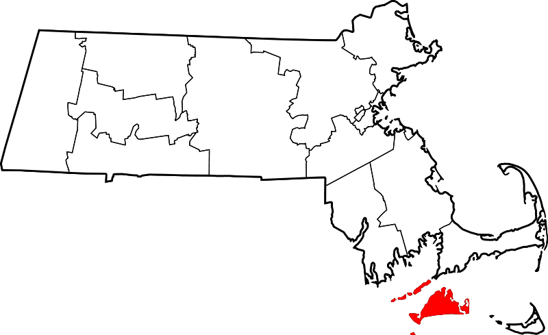
English: This is a locator map showing Dukes County in Massachusetts. For more information, see Commons:United States county locator maps. |
| Date | |
| Source |
Own work: English: The maps use data from nationalatlas.gov, specifically countyp020.tar.gz on the Raw Data Download page. The maps also use state outline data from statesp020.tar.gz. The Florida maps use hydrogm020.tar.gz to display Lake Okeechobee. |
| Author | David Benbennick |
Licensing
| I, the copyright holder of this work, release this work into the public domain. This applies worldwide. In some countries this may not be legally possible; if so: I grant anyone the right to use this work for any purpose, without any conditions, unless such conditions are required by law. |
File history
Click on a date/time to view the file as it appeared at that time.
| Date/Time | Thumbnail | Dimensions | User | Comment | |
|---|---|---|---|---|---|
| current | 12:49, 12 February 2006 | | 2,976 × 1,819 (43 KB) | David Benbennick | {{subst:User:Dbenbenn/clm|county=Dukes County|state=Massachusetts|type=county}} |
File usage
The following 10 pages use this file:
Global file usage
The following other wikis use this file:
- Usage on ar.wikipedia.org
- Usage on bg.wikipedia.org
- Usage on bpy.wikipedia.org
- Usage on ca.wikipedia.org
- Usage on cdo.wikipedia.org
- Usage on ceb.wikipedia.org
- Usage on ce.wikipedia.org
- Usage on cy.wikipedia.org
- Usage on da.wikipedia.org
- Usage on de.wikipedia.org
- Dukes County
- Cape Poge Light
- Cape Poge Wildlife Refuge
- Long Point Wildlife Refuge
- Menemsha Hills
- Mytoi
- Vorlage:Navigationsleiste Schutzgebiete der Trustees of Reservations im Dukes County
- Norton Point Beach
- Wasque
- Liste der Einträge im National Register of Historic Places im Dukes County
- Vorlage:Navigationsleiste Orte im Dukes County
- Usage on en.wikipedia.org
- Dukes County, Massachusetts
- List of counties in Massachusetts
- Aquinnah, Massachusetts
- Chilmark, Massachusetts
- Edgartown, Massachusetts
- Gosnold, Massachusetts
- Oak Bluffs, Massachusetts
- Tisbury, Massachusetts
- Vineyard Haven, Massachusetts
- West Tisbury, Massachusetts
- Dukes County, Province of New York
- Makonikey
- Cuttyhunk Island
View more global usage of this file.