
File:Map of Michigan highlighting Keweenaw County.svg

Size of this PNG preview of this SVG file: 512 × 599 pixels. Other resolutions: 205 × 240 pixels | 410 × 480 pixels | 656 × 768 pixels | 874 × 1,024 pixels | 1,749 × 2,048 pixels | 6,256 × 7,325 pixels.
Original file (SVG file, nominally 6,256 × 7,325 pixels, file size: 205 KB)
| This is a file from the Wikimedia Commons. Information from its description page there is shown below. Commons is a freely licensed media file repository. You can help. |
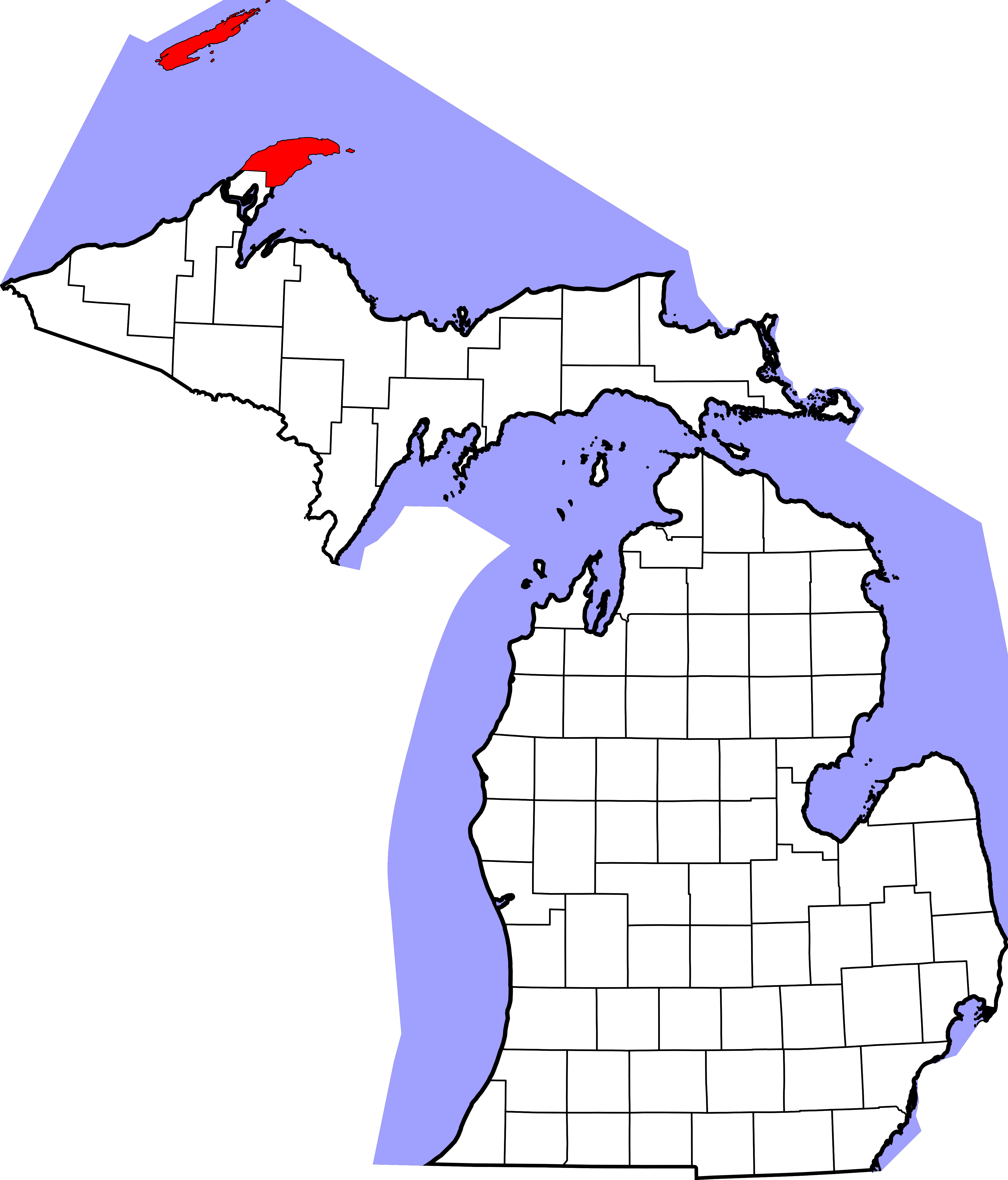
- Locator map showing Keweenaw County in Upper Michigan.
David Benbennick made this map. For more information, see Commons:United States county locator maps.
| I, the copyright holder of this work, release this work into the public domain. This applies worldwide. In some countries this may not be legally possible; if so: I grant anyone the right to use this work for any purpose, without any conditions, unless such conditions are required by law. |
File history
Click on a date/time to view the file as it appeared at that time.
| Date/Time | Thumbnail | Dimensions | User | Comment | |
|---|---|---|---|---|---|
| current | 12:55, 12 February 2006 | | 6,256 × 7,325 (205 KB) | David Benbennick | {{subst:User:Dbenbenn/clm|county=Keweenaw County|state=Michigan|type=county}} |
File usage
The following 4 pages use this file:
Global file usage
The following other wikis use this file:
- Usage on ar.wikipedia.org
- Usage on bg.wikipedia.org
- Usage on bpy.wikipedia.org
- Usage on cdo.wikipedia.org
- Usage on ceb.wikipedia.org
- Usage on cs.wikipedia.org
- Usage on cy.wikipedia.org
- Usage on de.wikipedia.org
- Usage on en.wikipedia.org
- Isle Royale National Park
- List of counties in Michigan
- Keweenaw County, Michigan
- Ahmeek, Michigan
- Allouez Township, Michigan
- Eagle Harbor Township, Michigan
- Grant Township, Keweenaw County, Michigan
- Houghton Township, Michigan
- Sherman Township, Keweenaw County, Michigan
- Copper Harbor, Michigan
- Eagle Harbor, Michigan
- User:Jnestorius/Regions with significant island landmass
- Eagle River, Michigan
- Gay, Michigan
- Rock Harbor (Michigan)
- National Register of Historic Places listings in Keweenaw County, Michigan
- Fort Wilkins Historic State Park
- Lac La Belle, Michigan
- Lac La Belle (Michigan)
- Montreal River (Michigan)
- Eagle Harbor Light
- Bete Grise
- Brockway Mountain Drive
- Delaware, Michigan
- Clifton, Michigan
- Mohawk, Michigan
- Sand Hills Light
- USS Puritan (ID-2222)
- Manitou Island Light Station
- Copper Harbor Light
- Phoenix, Michigan
View more global usage of this file.