
File:Flag of East Nusa Tenggara.svg

Size of this PNG preview of this SVG file: 800 × 560 pixels. Other resolutions: 320 × 224 pixels | 640 × 448 pixels | 1,024 × 717 pixels | 1,280 × 896 pixels | 2,560 × 1,792 pixels | 1,500 × 1,050 pixels.
Original file (SVG file, nominally 1,500 × 1,050 pixels, file size: 329 KB)
| This is a file from the Wikimedia Commons. Information from its description page there is shown below. Commons is a freely licensed media file repository. You can help. |
| Description |
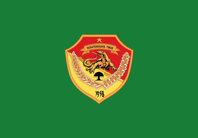
English: Flag of East Nusa Tenggara, See legal regulation about the flag. Bahasa Indonesia: Bendera Nusa Tenggara Timur, Lihat peraturan hukum tentang bendera tersebut. |
|||||
| Date | ||||||
| Source | Vector version of this file at Commons. Help from Coat of arms of East Nusa Tenggara. | |||||
| Author |
This W3C-unspecified vector image was created with Inkscape . |
|||||
| Permission (Reusing this file) |
I, the copyright holder of this work, hereby publish it under the following licenses: This file is licensed under the Creative Commons Attribution-Share Alike 3.0 Unported license.
You may select the license of your choice. |
|||||
| Other versions | East Nusa Tenggara flag.png |


File history
Click on a date/time to view the file as it appeared at that time.
| Date/Time | Thumbnail | Dimensions | User | Comment | |
|---|---|---|---|---|---|
| current | 01:29, 5 April 2015 | | 1,500 × 1,050 (329 KB) | Muffin Wizard | fix size to balance all Indonesian province flags |
| 10:11, 29 July 2014 |  | 600 × 375 (262 KB) | Asadwarraich | {{Information |Description=East Nusa Tenggara Flag |Source=Vector version of this file at Commons. Help from Coat of arms of East Nusa Tenggara. |Date=29-07-2014 |Author=[[Use... |
File usage
The following page uses this file:
Global file usage
The following other wikis use this file:
- Usage on af.wikipedia.org
- Usage on ar.wikipedia.org
- Usage on ban.wikipedia.org
- Usage on be.wikipedia.org
- Usage on bjn.wikipedia.org
- Usage on bn.wikipedia.org
- Usage on ca.wikipedia.org
- Usage on ceb.wikipedia.org
- Usage on ckb.wikipedia.org
- Usage on cs.wikipedia.org
- Usage on de.wikivoyage.org
- Usage on en.wikipedia.org
- Timor
- West Timor
- ISO 3166-2:ID
- List of islands by population
- List of language names
- Kupang
- List of divided islands
- List of animals representing first-level administrative country subdivisions
- Sikka Regency
- Ende Regency
- TVRI
- Melanesian Spearhead Group
- West Sumba Regency
- Alor Regency
- Belu Regency
- Central Sumba Regency
- List of political and geographic subdivisions by total area from 20,000 to 50,000 square kilometers
- List of political and geographic subdivisions by total area (all)
- List of political and geographic subdivisions by total area from 30,000 to 50,000 square kilometers
- Ngada Regency
- East Sumba Regency
- West Manggarai Regency
View more global usage of this file.