Coronado, Kansas
Coronado, Kansas | |
|---|---|
 | |
| Coordinates: 38°29′9″N 101°18′17″W / 38.48583°N 101.30472°W | |
| Country | United States |
| State | Kansas |
| County | Wichita |
| Time zone | UTC-6 (CST) |
| • Summer (DST) | UTC-5 (CDT) |
| Area code | 620 |
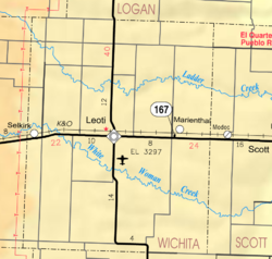
Coronado was an unincorporated community in Wichita County, Kansas, United States. It was platted in 1885. Coronado was involved in the bloodiest county seat fight in the history of the American West. The shoot-out on February 27, 1887, with boosters—some would say hired gunmen—from nearby Leoti left several people dead and wounded.[1][2]
Coronado had a post office from 1886 until 1899.[3]
References[change | change source]
- ↑ "8 Wonders of Wichita County". Wichita County, KS: Wichita County. Archived from the original on September 24, 2019. Retrieved September 24, 2019.
- ↑ "County Seat History of Wichita County, Kansas". Retrieved September 24, 2019.
- ↑ "Kansas Post Offices, 1828-1961". Kansas Historical Society. Archived from the original on October 9, 2013. Retrieved 27 June 2014.
- War in Wichita County (see bottom of page)


