
File:Bahrain adm location map.svg

Size of this PNG preview of this SVG file: 413 × 599 pixels. Other resolutions: 165 × 240 pixels | 331 × 480 pixels | 529 × 768 pixels | 706 × 1,024 pixels | 1,411 × 2,048 pixels | 1,246 × 1,808 pixels.
Original file (SVG file, nominally 1,246 × 1,808 pixels, file size: 326 KB)
| This is a file from the Wikimedia Commons. Information from its description page there is shown below. Commons is a freely licensed media file repository. You can help. |
Summary
| Description |
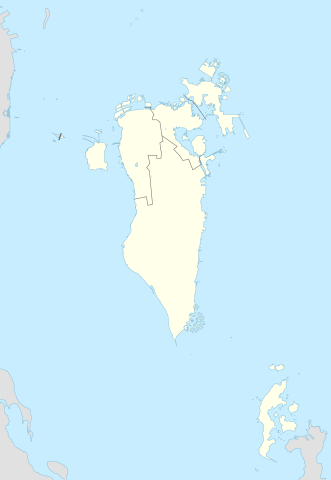
Deutsch: Positionskarte von Bahrain
English: Location map of Bahrain
|
||||||||||||
| Date | |||||||||||||
| Source |
Own work using: |
||||||||||||
| Author | NordNordWest and OpenStreetMap contributors | ||||||||||||
| SVG development | This map was created with Adobe Illustrator.
|
||||||||||||

Licensing
This file is licensed under the Creative Commons Attribution-Share Alike 2.0 Generic license.
- You are free:
- to share – to copy, distribute and transmit the work
- to remix – to adapt the work
- Under the following conditions:
- attribution – You must give appropriate credit, provide a link to the license, and indicate if changes were made. You may do so in any reasonable manner, but not in any way that suggests the licensor endorses you or your use.
- share alike – If you remix, transform, or build upon the material, you must distribute your contributions under the same or compatible license as the original.
File history
Click on a date/time to view the file as it appeared at that time.
| Date/Time | Thumbnail | Dimensions | User | Comment | |
|---|---|---|---|---|---|
| current | 23:08, 20 February 2015 | | 1,246 × 1,808 (326 KB) | NordNordWest | upd |
| 14:37, 13 November 2014 |  | 1,246 × 1,607 (134 KB) | NordNordWest | == {{int:filedesc}} == {{Information |Description= {{de|1=Positionskarte von Bahrain}} {{en|1=Location map of Bahrain}} {{Location map series N |stretching= |top=26.6 |bottom=16.5 |left=51.8 |right=60.1 }} |Source={{Own using}} * [http:www.openstreetma... |
File usage
The following 4 pages use this file:
Global file usage
The following other wikis use this file:
- Usage on an.wikipedia.org
- Usage on ar.wikipedia.org
- كأس الخليج العربي 1
- جدة (جزيرة)
- جزيرة النبيه صالح
- بلاد القديم
- قالب:خريطة مواقع البحرين
- الدوري البحريني الممتاز 2010–11
- جزيرة أم النعسان
- الدوري البحريني الممتاز 2009–10
- الدوري البحريني الممتاز 2011–12
- الدوري البحريني الممتاز 2012–13
- الدوري البحريني الممتاز 2013–14
- جزيرة البحرين
- جزيرة أم الصبان
- جسر الملك حمد
- الدوري البحريني الممتاز 2015–16
- الدوري البحريني الممتاز 2016–17
- تفجير قرية الدراز 2017
- جزيرة الدار
- الدوري البحريني الممتاز 2021-22
- الدوري البحريني الممتاز 2020-21
- الدوري البحريني الممتاز 2022-23
- الدوري البحريني الممتاز 2023-24
- Usage on ast.wikipedia.org
- Usage on azb.wikipedia.org
- Usage on az.wikipedia.org
View more global usage of this file.