
File:Chicago locator map.png

Size of this preview: 570 × 600 pixels. Other resolutions: 228 × 240 pixels | 615 × 647 pixels.
Original file (615 × 647 pixels, file size: 406 KB, MIME type: image/png)
| This is a file from the Wikimedia Commons. Information from its description page there is shown below. Commons is a freely licensed media file repository. You can help. |
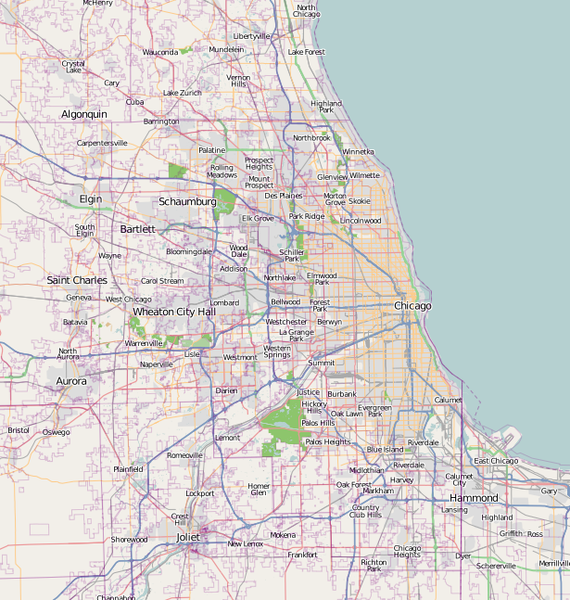
Summary
| Description | A map of Chicago, IL, and the surrounding area |
| Date | |
| Source | Base map generated by OpenStreetMap.org |
| Author | Dudemanfellabra |
| Permission (Reusing this file) |
OpenStreetMap license |
| Other versions | Derivative works of this file: Chicago map LSD.png |

|
This city map image could be re-created using vector graphics as an SVG file. This has several advantages; see Commons:Media for cleanup for more information. If an SVG form of this image is available, please upload it and afterwards replace this template with
{{vector version available|new image name}}.
It is recommended to name the SVG file “Chicago locator map.svg”—then the template Vector version available (or Vva) does not need the new image name parameter. |
Licensing
This file is licensed under the Creative Commons Attribution-Share Alike 2.0 Generic license.
- You are free:
- to share – to copy, distribute and transmit the work
- to remix – to adapt the work
- Under the following conditions:
- attribution – You must give appropriate credit, provide a link to the license, and indicate if changes were made. You may do so in any reasonable manner, but not in any way that suggests the licensor endorses you or your use.
- share alike – If you remix, transform, or build upon the material, you must distribute your contributions under the same or compatible license as the original.
File history
Click on a date/time to view the file as it appeared at that time.
| Date/Time | Thumbnail | Dimensions | User | Comment | |
|---|---|---|---|---|---|
| current | 18:00, 27 February 2017 | | 615 × 647 (406 KB) | Jeanjung212 | Lossless Compressed/optimized png decreasing file size by 59696 bytes |
| 22:49, 5 January 2010 |  | 615 × 647 (464 KB) | Dudemanfellabra | {{Information |Description={{en|1=A map of Chicago, IL, and the surrounding area}} |Source={{own}} |Author=Dudemanfellabra |Date=2010-01-05 |Permission= |other_versions= }} Category:Maps of Chicago |
File usage
The following 17 pages use this file:
- 330 North Wabash
- 55 East Erie Street
- Alsip, Illinois
- Aqua (skyscraper)
- Blue Cross Blue Shield Tower
- Eternal Silence
- Inland Steel Building
- La Grange, Illinois
- Lake Point Tower
- Midway International Airport
- O'Hare International Airport
- Palmolive Building
- Parkway Garden Homes
- River Point
- Willis Tower
- Module:Location map/data/United States Chicago metropolitan area
- Module:Location map/data/United States Chicago metropolitan area/doc
Global file usage
The following other wikis use this file:
- Usage on af.wikipedia.org
- Usage on ar.wikipedia.org
- Usage on bn.wikipedia.org
- Usage on ceb.wikipedia.org
- Usage on en.wikipedia.org
- Fort Dearborn
- John Hancock Center
- Aon Center (Chicago)
- Saint Valentine's Day Massacre
- Navy Pier
- Alsip, Illinois
- Bartlett, Illinois
- Buffalo Grove, Illinois
- Elgin, Illinois
- Hoffman Estates, Illinois
- Olympia Fields, Illinois
- Aurora, Illinois
- Bolingbrook, Illinois
- Carol Stream, Illinois
- Naperville, Illinois
- Carpentersville, Illinois
- Joliet, Illinois
- Lake Forest, Illinois
- German submarine U-505
- Northwestern University
- Field Museum of Natural History
- Symphony Center
- Garfield Park (Chicago)
- Robie House
- Mundelein College
- SeatGeek Stadium
- Willits House
- Graceland Cemetery
- Maine North High School
- Two Prudential Plaza
- 900 North Michigan
- Chase Tower (Chicago)
- Park Tower (Chicago)
- The Palmer House Hilton
- Rosehill Cemetery
- St. Ignatius College Prep
- Bryn Mawr Historic District
- Edgewater Beach Hotel
- The Levee, Chicago
- Palmer Park (Chicago)
- 330 North Wabash
View more global usage of this file.