
File:Cincinnati-suburbs-tract-housing.jpg

Size of this preview: 800 × 600 pixels. Other resolutions: 320 × 240 pixels | 640 × 480 pixels | 1,024 × 768 pixels | 1,280 × 960 pixels | 2,560 × 1,920 pixels.
Original file (2,560 × 1,920 pixels, file size: 1.53 MB, MIME type: image/jpeg)
| This is a file from the Wikimedia Commons. Information from its description page there is shown below. Commons is a freely licensed media file repository. You can help. |
| Camera location | | View this and other nearby images on: OpenStreetMap |
|---|
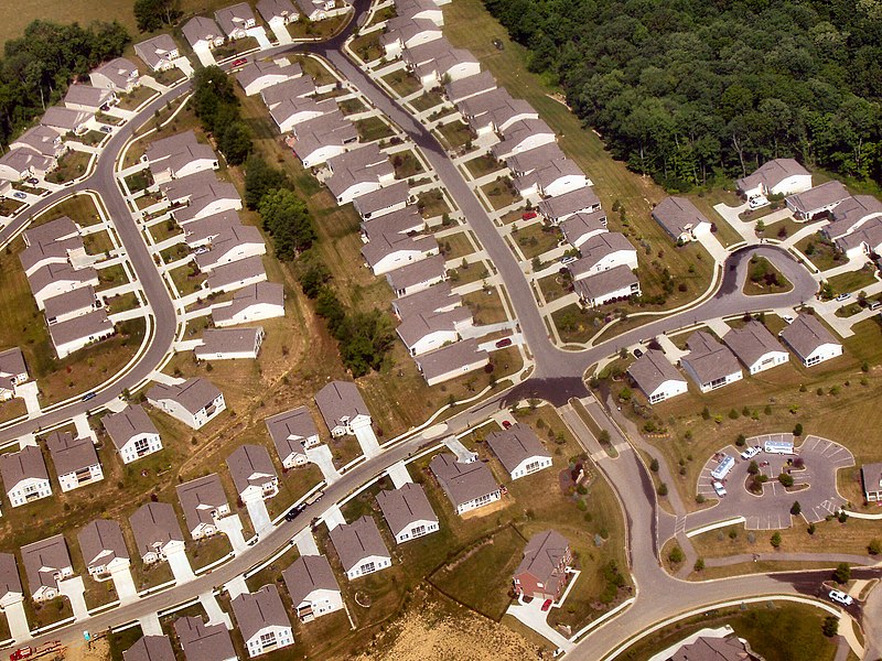
| Description | Tract housing near Union, Kentucky from the air. |
| Date | |
| Source | Own work |
| Author | Photo by Derek Jensen (Tysto) |
| I, the copyright holder of this work, release this work into the public domain. This applies worldwide. In some countries this may not be legally possible; if so: I grant anyone the right to use this work for any purpose, without any conditions, unless such conditions are required by law. |
File history
Click on a date/time to view the file as it appeared at that time.
| Date/Time | Thumbnail | Dimensions | User | Comment | |
|---|---|---|---|---|---|
| current | 06:19, 7 September 2005 | | 2,560 × 1,920 (1.53 MB) | Tysto | Tract housing near Union, Kentucky from the air.<br> Photo by Derek Jensen (Tysto), 2005-June-20 Category:Aerial photos Category:Union, Kentucky Category:Tysto-aerial |
File usage
The following page uses this file:
Global file usage
The following other wikis use this file:
- Usage on ar.wikipedia.org
- Usage on ast.wikipedia.org
- Usage on az.wikipedia.org
- Usage on bn.wikipedia.org
- Usage on ckb.wikipedia.org
- Usage on cs.wikipedia.org
- Usage on de.wikipedia.org
- Usage on en.wikipedia.org
- Union, Kentucky
- Bicycle-friendly
- Utility cycling
- User:Soldaatvanoranje
- User:Skal
- User:Dreish
- User:KnightsHFU
- User:MiLo28
- User:Mtiedemann
- Tract housing
- User:FTIII
- User:WiccaIrish
- User:SofaKing381222
- User:Gcapp1959
- User:Egonil
- User:Trisreed
- User:Subwayguy
- User:Cheese Sandwich
- User:Bayerischermann
- Portal:Architecture
- Portal:Architecture/Categories
- User:N0thingness
- User:Va girl2468
- User:ScaldingHotSoup
- User:ChildOfTheMoon83
- User:Llewdor
- User:Gokugohan382
- User:Is is Is
- User:Canuck85
- User:QianHui
- User:Dandelion~enwiki
- User:Kirill Skorobogat~enwiki
- User:John wesley
- User:Lucashoal
- Template:User suburbs
View more global usage of this file.