
File:Congressional districts.gif
Size of this preview: 776 × 600 pixels. Other resolutions: 311 × 240 pixels | 621 × 480 pixels | 792 × 612 pixels.
Original file (792 × 612 pixels, file size: 85 KB, MIME type: image/gif)
| This is a file from the Wikimedia Commons. Information from its description page there is shown below. Commons is a freely licensed media file repository. You can help. |
Summary
| Description |
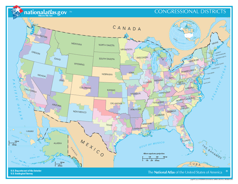
English: Congressional districts |
| Date | Feb 16 |
| Source | http://nationalmap.gov/small_scale/printable/reference.html |
| Author | 20px|link=User:Kcida10|Kcida10 Kcida10 (talk) (Uploads). |
| Permission (Reusing this file) |
Government agency |
Licensing
This map was obtained from an edition of the National Atlas of the United States. Like almost all works of the U.S. federal government, works from the National Atlas are in the public domain in the United States.
Online access: NationalAtlas.gov | 1970 print edition: Library of Congress, Perry-Castañeda Library
|
Original upload log
The original description page was here. All following user names refer to en.wikipedia.
| Date/Time | Dimensions | User | Comment |
|---|---|---|---|
| 2016-02-03 11:06 | 792×612× (86567 bytes) | Kcida10 | {{Information | Description = Congressional districts | Source =http://nationalmap.gov/small_scale/printable/reference.html | Date = Feb 16 | Author =[[File:Wikideas.jpeg|20px|link=User:Kcida10|Kcida10 ]] [[User:Kcida10|... |
File history
Click on a date/time to view the file as it appeared at that time.
| Date/Time | Thumbnail | Dimensions | User | Comment | |
|---|---|---|---|---|---|
| current | 11:06, 2 March 2016 | | 792 × 612 (85 KB) | FastilyClone | Transferred from enwp |
File usage
The following page uses this file:
Global file usage
The following other wikis use this file:
- Usage on fi.wikipedia.org
- Usage on it.wikipedia.org
- Usage on ru.wikipedia.org
- Usage on uk.wikipedia.org