
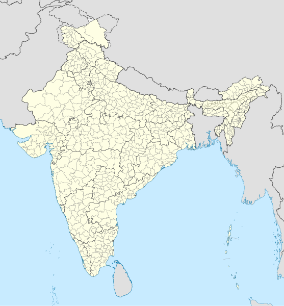
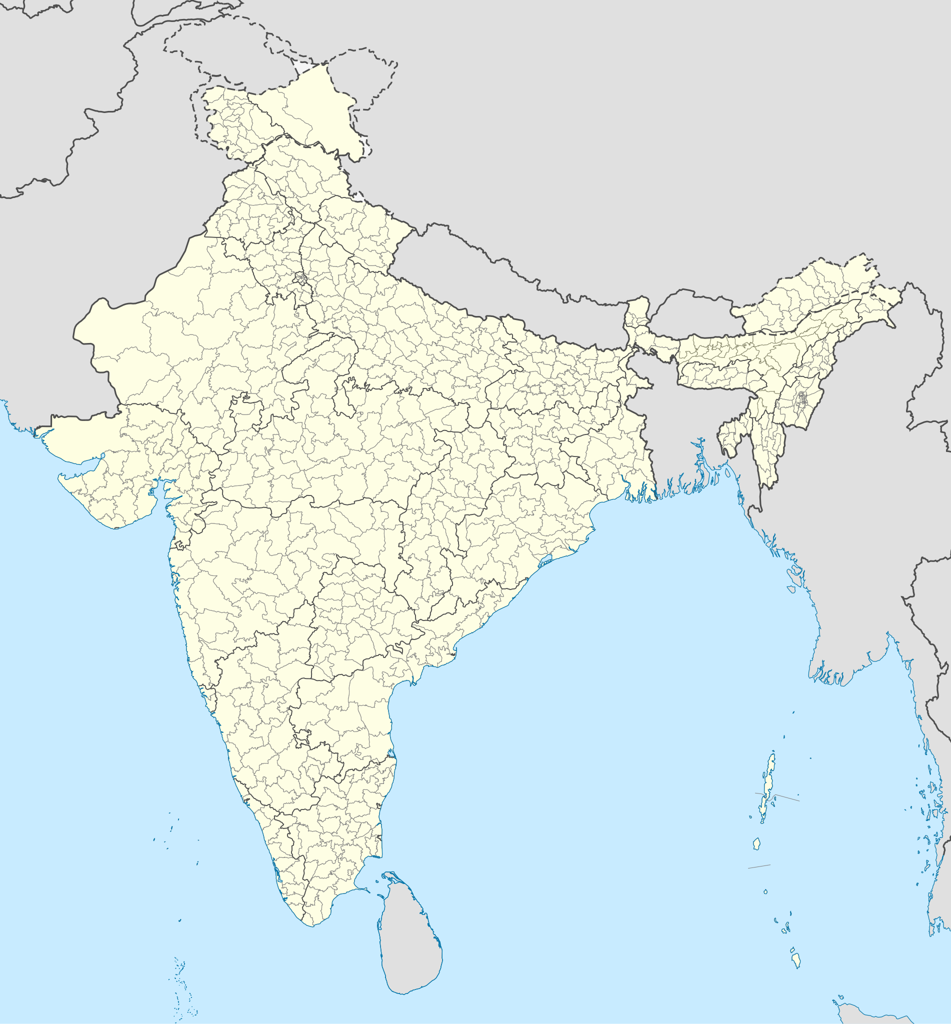
File:India district map (de-facto).svg

Size of this PNG preview of this SVG file: 557 × 600 pixels. Other resolutions: 223 × 240 pixels | 446 × 480 pixels | 713 × 768 pixels | 951 × 1,024 pixels | 1,902 × 2,048 pixels | 1,500 × 1,615 pixels.
Original file (SVG file, nominally 1,500 × 1,615 pixels, file size: 3.1 MB)
| This is a file from the Wikimedia Commons. Information from its description page there is shown below. Commons is a freely licensed media file repository. You can help. |
.svg)
Summary
| Description |
English: Map of the districts of India. |
| Date | |
| Source |
This file was derived from: India Telangana locator map.svg |
| Author | Superbenjamin |
Licensing
I, the copyright holder of this work, hereby publish it under the following license:
This file is licensed under the Creative Commons Attribution-Share Alike 4.0 International license.
- You are free:
- to share – to copy, distribute and transmit the work
- to remix – to adapt the work
- Under the following conditions:
- attribution – You must give appropriate credit, provide a link to the license, and indicate if changes were made. You may do so in any reasonable manner, but not in any way that suggests the licensor endorses you or your use.
- share alike – If you remix, transform, or build upon the material, you must distribute your contributions under the same or compatible license as the original.
File history
Click on a date/time to view the file as it appeared at that time.
| Date/Time | Thumbnail | Dimensions | User | Comment | |
|---|---|---|---|---|---|
| current | 05:18, 2 May 2022 | | 1,500 × 1,615 (3.1 MB) | C1MM | Updated to 2022 |
| 16:46, 6 February 2022 |  | 1,643 × 1,856 (1.88 MB) | Milenioscuro | standard colors | |
| 04:34, 22 September 2021 |  | 1,643 × 1,856 (1.88 MB) | C1MM | Removed duplicate districts | |
| 04:09, 22 September 2021 |  | 1,643 × 1,856 (1.89 MB) | C1MM | Added far more accurate district boundaries | |
| 20:23, 16 February 2021 |  | 1,643 × 1,856 (2 MB) | C1MM | Added better district boundaries | |
| 06:00, 13 November 2020 |  | 1,643 × 1,856 (1.9 MB) | C1MM | Updated shapefiles, made district boundaries more accurate | |
| 21:00, 25 July 2020 |  | 1,643 × 1,856 (1.65 MB) | C1MM | Fixed state and intl border colours | |
| 05:00, 25 July 2020 |  | 1,643 × 1,856 (1.64 MB) | C1MM | Reformatted for easier use, updated district map to situation as of July 2020 | |
| 20:34, 15 March 2017 |  | 1,643 × 1,856 (800 KB) | Superbenjamin | User created page with UploadWizard |
File usage
The following page uses this file:
Global file usage
The following other wikis use this file:
- Usage on anp.wikipedia.org
- Usage on arz.wikipedia.org
- Usage on bh.wikipedia.org
- Usage on bn.wikipedia.org
- Usage on de.wikipedia.org
- Usage on en.wikipedia.org
- Usage on es.wikipedia.org
- Usage on fa.wikipedia.org
- Usage on fr.wikipedia.org
- Usage on hif.wikipedia.org
- Usage on it.wikipedia.org
- Usage on ko.wikipedia.org
- Usage on mai.wikipedia.org
- Usage on ne.wikipedia.org
- Usage on nl.wikipedia.org
- Usage on pnb.wikipedia.org
- Usage on sat.wikipedia.org
- Usage on ta.wikipedia.org
- Usage on tcy.wikipedia.org
- Usage on th.wikipedia.org
- Usage on tr.wikipedia.org
- Usage on tum.wikipedia.org
- Usage on uk.wikipedia.org
- Usage on ur.wikipedia.org
- Usage on vi.wikipedia.org
- Usage on zh.wikipedia.org
.svg)