
File:Indianapolis.svg

Size of this PNG preview of this SVG file: 629 × 600 pixels. Other resolutions: 252 × 240 pixels | 504 × 480 pixels | 806 × 768 pixels | 1,074 × 1,024 pixels | 2,149 × 2,048 pixels | 1,624 × 1,548 pixels.
Original file (SVG file, nominally 1,624 × 1,548 pixels, file size: 723 KB)
| This is a file from the Wikimedia Commons. Information from its description page there is shown below. Commons is a freely licensed media file repository. You can help. |
| This work has been released into the public domain by its author, SPUI. This applies worldwide. In some countries this may not be legally possible; if so: |
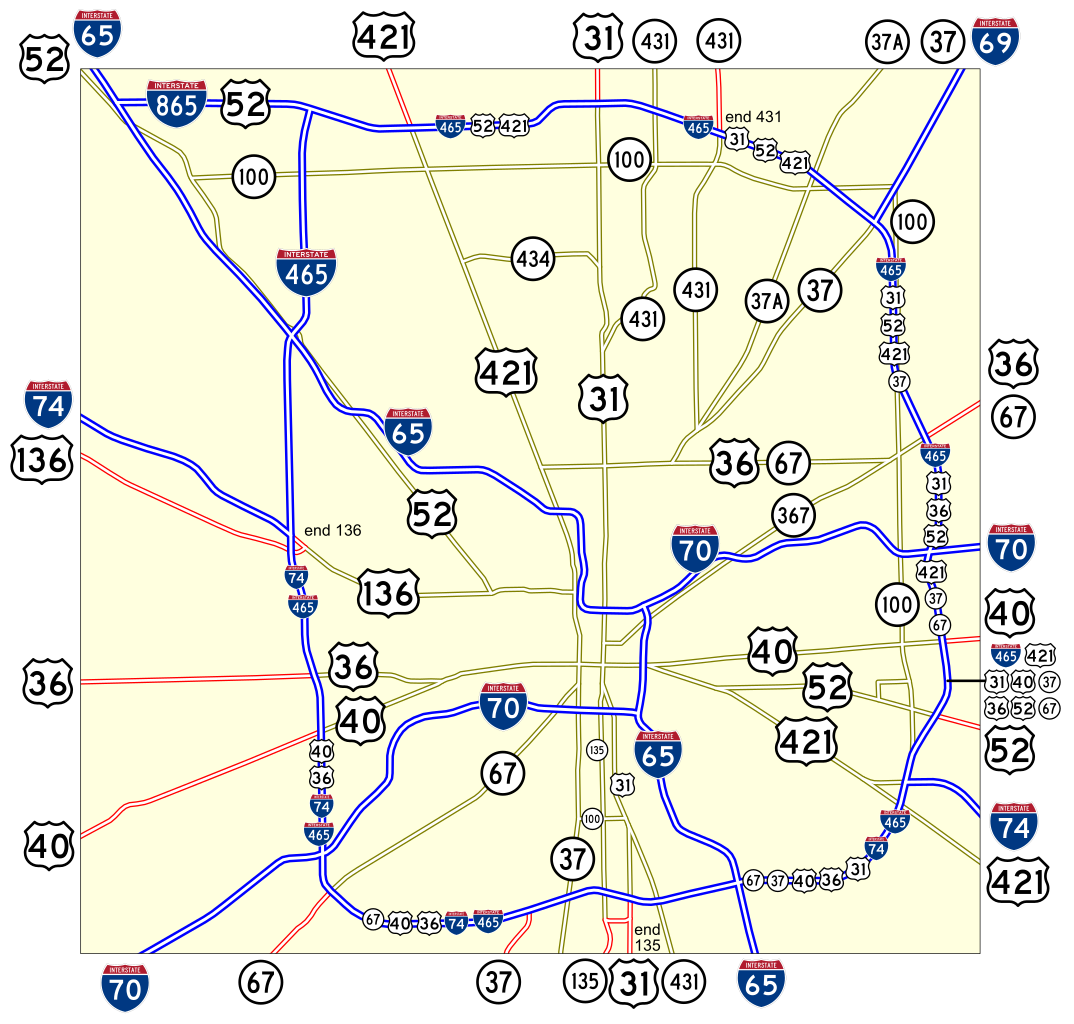
Map of numbered routes in Indianapolis, Indiana. Traced on USGS topos. Information is from the maps and photos on [1].
- Blue: Interstate
- Red: Current route
- Yellow: Former route
If you need a thumbnail use Image:Indianapolis.png.
An alternate version at Image:Indianapolis numbered routes labeled.svg shows street names.
File history
Click on a date/time to view the file as it appeared at that time.
| Date/Time | Thumbnail | Dimensions | User | Comment | |
|---|---|---|---|---|---|
| current | 17:27, 4 June 2006 | | 1,624 × 1,548 (723 KB) | SPUI~commonswiki | {{spuimap}} Map of numbered routes in Indianapolis, Indiana. Traced on USGS topos. Information is from the maps and photos on [http://illi-indi.com/IndianaHighwayList.php]. *Blue: Interstate *Red: Current route *Yellow: Former route If you need a thumbnai |
File usage
The following page uses this file:
Global file usage
The following other wikis use this file:
- Usage on en.wikipedia.org
- Usage on fi.wikipedia.org
- Usage on fr.wikipedia.org
- Usage on ja.wikipedia.org
- Usage on nl.wikipedia.org
- Usage on www.wikidata.org
- Usage on zh.wikipedia.org