
File:Locator map of the Duchy of Bouillon (1560).svg

Size of this PNG preview of this SVG file: 800 × 530 pixels. Other resolutions: 320 × 212 pixels | 640 × 424 pixels | 1,024 × 678 pixels | 1,280 × 848 pixels | 2,560 × 1,695 pixels | 5,029 × 3,330 pixels.
Original file (SVG file, nominally 5,029 × 3,330 pixels, file size: 576 KB)
| This is a file from the Wikimedia Commons. Information from its description page there is shown below. Commons is a freely licensed media file repository. You can help. |
.svg)
Summary
| Description |
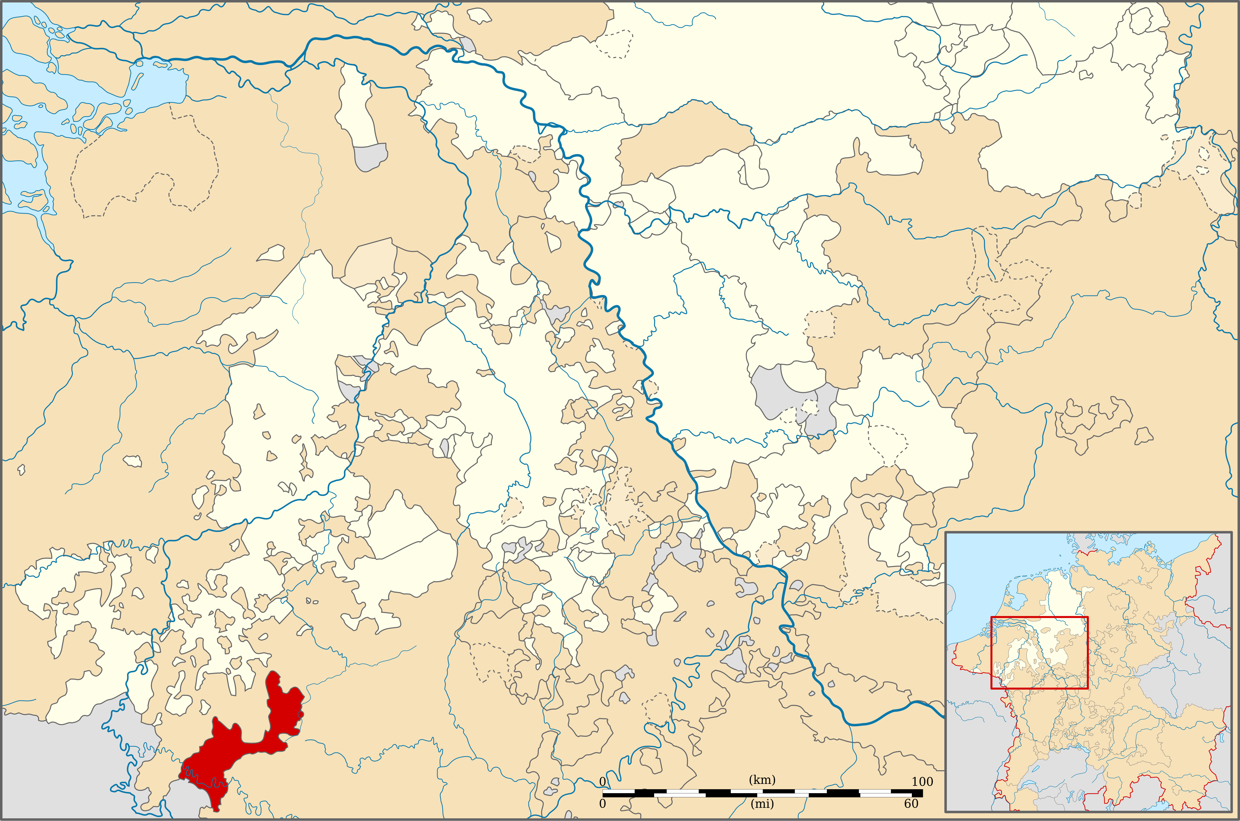
English: Locator map of the Duchy of Bouillon (1560) |
| Date | |
| Source | Geschichtlicher Handatlas von Westfalen (1975) |
| Author | Sir Iain |
Licensing
This file is licensed under the Creative Commons Attribution-Share Alike 3.0 Unported license.
- You are free:
- to share – to copy, distribute and transmit the work
- to remix – to adapt the work
- Under the following conditions:
- attribution – You must give appropriate credit, provide a link to the license, and indicate if changes were made. You may do so in any reasonable manner, but not in any way that suggests the licensor endorses you or your use.
- share alike – If you remix, transform, or build upon the material, you must distribute your contributions under the same or compatible license as the original.
File history
Click on a date/time to view the file as it appeared at that time.
| Date/Time | Thumbnail | Dimensions | User | Comment | |
|---|---|---|---|---|---|
| current | 22:31, 11 December 2010 | | 5,029 × 3,330 (576 KB) | Sir Iain | {{Information |Description=Locator map of the Duchy of Boulion (1560) |Source=Geschichtlicher Handatlas von Westfalen (1975) |Date=13/09/2010 |Author=Sir Iain |Permission= |other_versions= }} {{cc-by-sa-3.0}} [[Category:Maps of territories in the Westphal |
File usage
The following page uses this file:
Global file usage
The following other wikis use this file:
- Usage on ar.wikipedia.org
- Usage on de.wikipedia.org
- Usage on en.wikipedia.org
- Usage on fr.wikipedia.org
- Usage on it.wikipedia.org
- Usage on lt.wikipedia.org
- Usage on nl.wikipedia.org
- Usage on pt.wikipedia.org
- Usage on ru.wikipedia.org
.svg)