
File:Map of Iowa highlighting Kossuth County.svg

Size of this PNG preview of this SVG file: 800 × 524 pixels. Other resolutions: 320 × 210 pixels | 640 × 419 pixels | 1,024 × 671 pixels | 1,280 × 838 pixels | 2,560 × 1,677 pixels | 5,350 × 3,504 pixels.
Original file (SVG file, nominally 5,350 × 3,504 pixels, file size: 43 KB)
| This is a file from the Wikimedia Commons. Information from its description page there is shown below. Commons is a freely licensed media file repository. You can help. |
Summary
| Description |
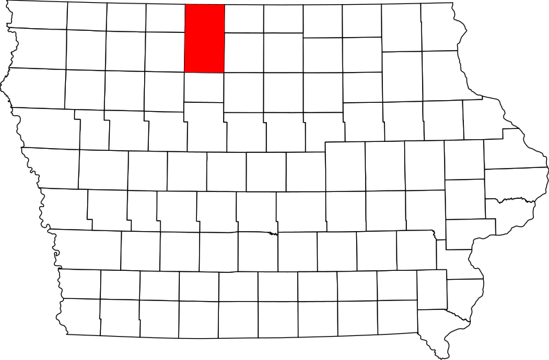
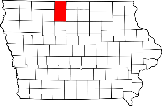
English: This is a locator map showing Kossuth County in Iowa. For more information, see Commons:United States county locator maps. |
| Date | |
| Source |
Own work: English: The maps use data from nationalatlas.gov, specifically countyp020.tar.gz on the Raw Data Download page. The maps also use state outline data from statesp020.tar.gz. The Florida maps use hydrogm020.tar.gz to display Lake Okeechobee. |
| Author | David Benbennick |
| SVG development |
Licensing
| I, the copyright holder of this work, release this work into the public domain. This applies worldwide. In some countries this may not be legally possible; if so: I grant anyone the right to use this work for any purpose, without any conditions, unless such conditions are required by law. |
File history
Click on a date/time to view the file as it appeared at that time.
| Date/Time | Thumbnail | Dimensions | User | Comment | |
|---|---|---|---|---|---|
| current | 12:15, 12 February 2006 | | 5,350 × 3,504 (43 KB) | David Benbennick | {{subst:User:Dbenbenn/clm|county=Kossuth County|state=Iowa}} |
File usage
The following 2 pages use this file:
Global file usage
The following other wikis use this file:
- Usage on ar.wikipedia.org
- Usage on bg.wikipedia.org
- Usage on bpy.wikipedia.org
- Usage on cdo.wikipedia.org
- Usage on ceb.wikipedia.org
- Usage on ce.wikipedia.org
- Usage on cy.wikipedia.org
- Usage on de.wikipedia.org
- Usage on en.wikipedia.org
- List of counties in Iowa
- Kossuth County, Iowa
- Algona, Iowa
- Bancroft, Iowa
- Burt, Iowa
- Fenton, Iowa
- Lakota, Iowa
- Ledyard, Iowa
- Lone Rock, Iowa
- Swea City, Iowa
- Titonka, Iowa
- Wesley, Iowa
- Whittemore, Iowa
- Lu Verne, Iowa
- West Bend, Iowa
- Henry Adams Building
- Template:Kossuth County, Iowa
- User:Nyttend/County templates/IA/2
- Eagle Township, Kossuth County, Iowa
- Sexton, Iowa
- Category:Populated places in Kossuth County, Iowa
- Burt Township, Kossuth County, Iowa
- Cresco Township, Kossuth County, Iowa
View more global usage of this file.