
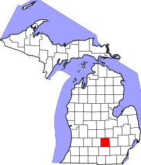
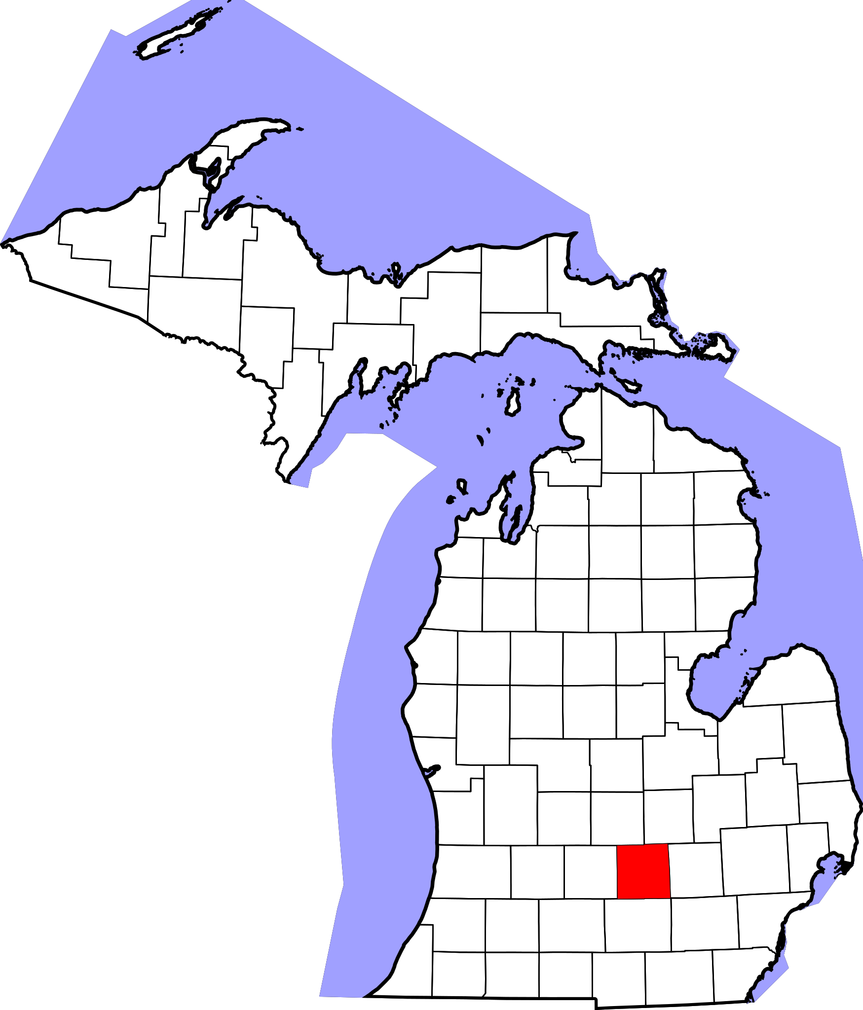
File:Map of Michigan highlighting Ingham County.svg

Size of this PNG preview of this SVG file: 512 × 599 pixels. Other resolutions: 205 × 240 pixels | 410 × 480 pixels | 656 × 768 pixels | 874 × 1,024 pixels | 1,749 × 2,048 pixels | 6,256 × 7,325 pixels.
Original file (SVG file, nominally 6,256 × 7,325 pixels, file size: 205 KB)
| This is a file from the Wikimedia Commons. Information from its description page there is shown below. Commons is a freely licensed media file repository. You can help. |
David Benbennick made this map. For more information, see Commons:United States county locator maps.
| I, the copyright holder of this work, release this work into the public domain. This applies worldwide. In some countries this may not be legally possible; if so: I grant anyone the right to use this work for any purpose, without any conditions, unless such conditions are required by law. |
File history
Click on a date/time to view the file as it appeared at that time.
| Date/Time | Thumbnail | Dimensions | User | Comment | |
|---|---|---|---|---|---|
| current | 12:54, 12 February 2006 | | 6,256 × 7,325 (205 KB) | David Benbennick | {{subst:User:Dbenbenn/clm|county=Ingham County|state=Michigan|type=county}} |
File usage
The following 10 pages use this file:
Global file usage
The following other wikis use this file:
- Usage on ar.wikipedia.org
- إيست لانسنغ
- لانسنغ
- ليزلي (ميشيغان)
- ميسون
- ويليامستون
- بلدة ألايدون (ميشيغان)
- بلدة أوريليوس (ميشيغان)
- بلدة بنكر هيل (ميشيغان)
- بلدة دلهي تشارتر (ميشيغان)
- بلدة إنغهام (ميشيغان)
- بلدة لانسينغ تشارتر (ميشيغان)
- بلدة ليروي (مقاطعة إنغهام)
- بلدة ليزلي (ميشيغان)
- بلدة لوك (ميشيغان)
- بلدة ميريديان تشارتر (ميشيغان)
- بلدة أونونداجا (ميشيغان)
- بلدة ستوكبريدج (ميشيغان)
- بلدة فيفاي (ميشيغان)
- بلدة ويتفيلد (ميشيغان)
- بلدة وايت أوك (ميشيغان)
- بلدة ويليامزتاون (ميشيغان)
- دانسفيل (ميشيغان)
- ستوكبريدج (ميشيغان)
- ويبرفيل (ميشيغان)
- مقاطعة إنغام (ميشيغان)
- هولت (ميشيغان)
- قالب:مقاطعة إنغام (ميشيغان)
- إدجمونت بارك (ميشيغان)
- هاسليت (ميشيغان)
- أوكيموس (ميشيغان)
- Usage on azb.wikipedia.org
- Usage on bg.wikipedia.org
- Usage on bpy.wikipedia.org
- Usage on cdo.wikipedia.org
- Usage on ceb.wikipedia.org
- Usage on cs.wikipedia.org
- Usage on cy.wikipedia.org
- Usage on de.wikipedia.org
- Usage on en.wikipedia.org
View more global usage of this file.