
File:Map of Ohio highlighting Morrow County.svg

Size of this PNG preview of this SVG file: 551 × 599 pixels. Other resolutions: 221 × 240 pixels | 442 × 480 pixels | 706 × 768 pixels | 942 × 1,024 pixels | 1,884 × 2,048 pixels | 3,675 × 3,995 pixels.
Original file (SVG file, nominally 3,675 × 3,995 pixels, file size: 58 KB)
| This is a file from the Wikimedia Commons. Information from its description page there is shown below. Commons is a freely licensed media file repository. You can help. |
Summary
| Description |
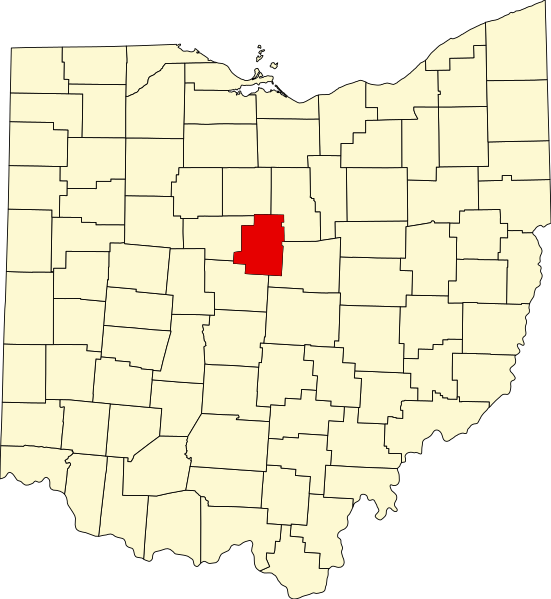
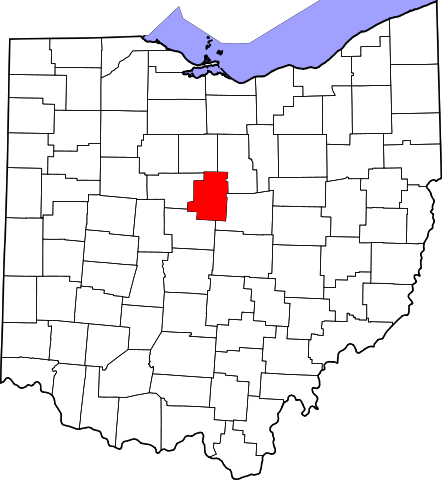
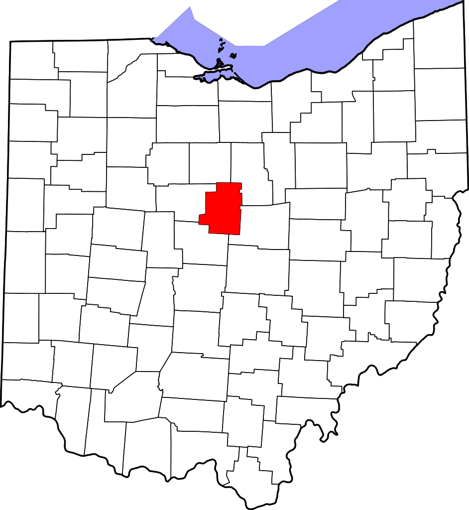
English: This is a locator map showing Morrow County in Ohio. For more information, see Commons:United States county locator maps. |
| Date | |
| Source |
Own work: English: The maps use data from nationalatlas.gov, specifically countyp020.tar.gz on the Raw Data Download page. The maps also use state outline data from statesp020.tar.gz. The Florida maps use hydrogm020.tar.gz to display Lake Okeechobee. |
| Author | David Benbennick |
Licensing
| I, the copyright holder of this work, release this work into the public domain. This applies worldwide. In some countries this may not be legally possible; if so: I grant anyone the right to use this work for any purpose, without any conditions, unless such conditions are required by law. |
File history
Click on a date/time to view the file as it appeared at that time.
| Date/Time | Thumbnail | Dimensions | User | Comment | |
|---|---|---|---|---|---|
| current | 16:10, 12 February 2006 | | 3,675 × 3,995 (58 KB) | David Benbennick | {{subst:User:Dbenbenn/clm|county=Morrow County|state=Ohio|type=county}} |
File usage
The following page uses this file:
Global file usage
The following other wikis use this file:
- Usage on ar.wikipedia.org
- Usage on azb.wikipedia.org
- Usage on bg.wikipedia.org
- Usage on bpy.wikipedia.org
- Usage on cdo.wikipedia.org
- Usage on ceb.wikipedia.org
- Usage on cy.wikipedia.org
- Usage on da.wikipedia.org
- Usage on de.wikipedia.org
- Usage on en.wikipedia.org
- List of counties in Ohio
- Morrow County, Ohio
- Galion, Ohio
- Cardington, Ohio
- Chesterville, Ohio
- Edison, Ohio
- Fulton, Ohio
- Marengo, Ohio
- Mount Gilead, Ohio
- Sparta, Ohio
- Blooming Grove, Ohio
- Iberia, Ohio
- Bennington Township, Morrow County, Ohio
- Canaan Township, Morrow County, Ohio
- Cardington Township, Ohio
- Chester Township, Morrow County, Ohio
- Congress Township, Morrow County, Ohio
- Franklin Township, Morrow County, Ohio
- Gilead Township, Morrow County, Ohio
- Harmony Township, Morrow County, Ohio
- Lincoln Township, Morrow County, Ohio
- North Bloomfield Township, Morrow County, Ohio
- Perry Township, Morrow County, Ohio
- Peru Township, Morrow County, Ohio
- South Bloomfield Township, Morrow County, Ohio
- Troy Township, Morrow County, Ohio
- Washington Township, Morrow County, Ohio
- Westfield Township, Morrow County, Ohio
- Template:Morrow County, Ohio
View more global usage of this file.