
File:Mount Rainier from west.jpg

Size of this preview: 800 × 533 pixels. Other resolutions: 320 × 213 pixels | 640 × 427 pixels | 1,024 × 683 pixels | 1,280 × 853 pixels | 1,800 × 1,200 pixels.
Original file (1,800 × 1,200 pixels, file size: 301 KB, MIME type: image/jpeg)
| This is a file from the Wikimedia Commons. Information from its description page there is shown below. Commons is a freely licensed media file repository. You can help. |
Summary
| Description |
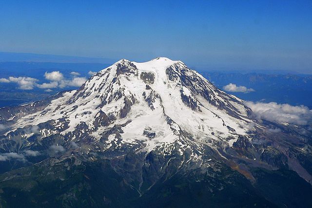
English: Aerial photo of Mount Rainier from the west |
| Date | |
| Source | Own work |
| Author | Stan Shebs |
Licensing
Stan Shebs, the copyright holder of this work, hereby publishes it under the following licenses:

|
Permission is granted to copy, distribute and/or modify this document under the terms of the GNU Free Documentation License, Version 1.2 or any later version published by the Free Software Foundation; with no Invariant Sections, no Front-Cover Texts, and no Back-Cover Texts. A copy of the license is included in the section entitled GNU Free Documentation License. |
This file is licensed under the Creative Commons Attribution-Share Alike 3.0 Unported license.
Attribution: Stan Shebs
- You are free:
- to share – to copy, distribute and transmit the work
- to remix – to adapt the work
- Under the following conditions:
- attribution – You must give appropriate credit, provide a link to the license, and indicate if changes were made. You may do so in any reasonable manner, but not in any way that suggests the licensor endorses you or your use.
- share alike – If you remix, transform, or build upon the material, you must distribute your contributions under the same or compatible license as the original.
This file is licensed under the Creative Commons Attribution-Share Alike 2.5 Generic license.
Attribution: Stan Shebs
- You are free:
- to share – to copy, distribute and transmit the work
- to remix – to adapt the work
- Under the following conditions:
- attribution – You must give appropriate credit, provide a link to the license, and indicate if changes were made. You may do so in any reasonable manner, but not in any way that suggests the licensor endorses you or your use.
- share alike – If you remix, transform, or build upon the material, you must distribute your contributions under the same or compatible license as the original.
You may select the license of your choice.
File history
Click on a date/time to view the file as it appeared at that time.
| Date/Time | Thumbnail | Dimensions | User | Comment | |
|---|---|---|---|---|---|
| current | 04:51, 18 August 2005 | | 1,800 × 1,200 (301 KB) | Stan Shebs | Aerial photo of Mount Rainier from the west, taken July 2005 by User:Stan Shebs {{GFDL-self}} |
File usage
The following page uses this file:
Global file usage
The following other wikis use this file:
- Usage on af.wikipedia.org
- Usage on ar.wikipedia.org
- Usage on ca.wikipedia.org
- Usage on ceb.wikipedia.org
- Usage on cs.wikipedia.org
- Usage on da.wikipedia.org
- Usage on de.wikipedia.org
- Usage on en.wikipedia.org
- Mount Baker
- Mount St. Helens
- Mount Shasta
- Mount Hood
- Mount Bachelor
- Lassen Peak
- Newberry Volcano
- Mount Jefferson (Oregon)
- Mount Thielsen
- Mount Adams (Washington)
- Mount Mazama
- Glacier Peak
- Mount McLoughlin
- Talk:Mount Rainier
- Mount Garibaldi
- 1980 eruption of Mount St. Helens
- Medicine Lake Volcano
- Indian Heaven
- User:Stan Shebs/Gallery/Places
- Mount Tehama
- Garibaldi Volcanic Belt
- Goat Rocks
- Broken Top
- Three Sisters (Oregon)
- Template:Cascade volcanoes
- Mount Meager massif
- Diamond Peak (Oregon)
- Mount Scott (Klamath County, Oregon)
- Cascade Volcanoes
- Devastator Peak
- User:Fgf2007/Favorite USA Links
- Mount Job
- Plinth Peak
- Capricorn Mountain
- Pemberton Volcanic Belt
- Pylon Peak (British Columbia)
- Yamsay Mountain
- Shastina
View more global usage of this file.