
File:Northern territories in Canada.svg

Size of this PNG preview of this SVG file: 512 × 435 pixels. Other resolutions: 283 × 240 pixels | 565 × 480 pixels | 904 × 768 pixels | 1,205 × 1,024 pixels | 2,411 × 2,048 pixels.
Original file (SVG file, nominally 512 × 435 pixels, file size: 107 KB)
| This is a file from the Wikimedia Commons. Information from its description page there is shown below. Commons is a freely licensed media file repository. You can help. |
Summary
| Description |
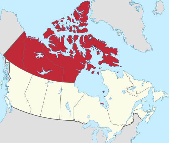
English: Map of the Northern territories in Canada |
| Date | |
| Source |
This vector image includes elements that have been taken or adapted from this file: |
| Author | Allice Hunter |
Licensing
This file is licensed under the Creative Commons Attribution-Share Alike 4.0 International license.
- You are free:
- to share – to copy, distribute and transmit the work
- to remix – to adapt the work
- Under the following conditions:
- attribution – You must give appropriate credit, provide a link to the license, and indicate if changes were made. You may do so in any reasonable manner, but not in any way that suggests the licensor endorses you or your use.
- share alike – If you remix, transform, or build upon the material, you must distribute your contributions under the same or compatible license as the original.
File history
Click on a date/time to view the file as it appeared at that time.
| Date/Time | Thumbnail | Dimensions | User | Comment | |
|---|---|---|---|---|---|
| current | 21:24, 7 January 2021 | | 512 × 435 (107 KB) | Allice Hunter | Uploaded a work by <span style="font-family:Candara; color:blue;"> '''''Allice Hunter'''''</span> from {{AttribSVG|Canada location map.svg|Yug}} with UploadWizard |
File usage
The following page uses this file:
Global file usage
The following other wikis use this file:
- Usage on en.wikipedia.org
- Usage on ml.wikipedia.org
- Usage on pl.wikipedia.org