
File:Outline Map of Sakhalin Oblast.svg

Size of this PNG preview of this SVG file: 499 × 599 pixels. Other resolutions: 200 × 240 pixels | 400 × 480 pixels | 640 × 768 pixels | 853 × 1,024 pixels | 1,706 × 2,048 pixels | 1,127 × 1,353 pixels.
Original file (SVG file, nominally 1,127 × 1,353 pixels, file size: 110 KB)
| This is a file from the Wikimedia Commons. Information from its description page there is shown below. Commons is a freely licensed media file repository. You can help. |
Summary
| Description |
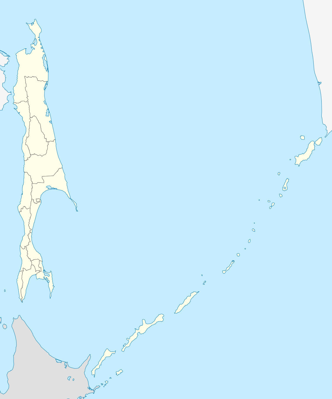
Русский: Позиционная карта Сахалинской области Равноугольная проекция, растяжение - 160%. Координаты краёв:
|
| Date | |
| Source |
Own work This W3C-unspecified vector image was created with Inkscape . |
| Author | Виктор В |
| Other versions |
[]
|

.svg)

Licensing
I, the copyright holder of this work, hereby publish it under the following license:
| I, the copyright holder of this work, release this work into the public domain. This applies worldwide. In some countries this may not be legally possible; if so: I grant anyone the right to use this work for any purpose, without any conditions, unless such conditions are required by law. |
File history
Click on a date/time to view the file as it appeared at that time.
| Date/Time | Thumbnail | Dimensions | User | Comment | |
|---|---|---|---|---|---|
| current | 22:34, 22 February 2010 | | 1,127 × 1,353 (110 KB) | Виктор В | == {{int:filedesc}} == {{Information |Description={{ru|1=Позиционная карта Сахалинской области<br>Равноугольная проекция, растяжение - 160%. Координаты краёв: * север - 5 |
File usage
The following 3 pages use this file:
Global file usage
The following other wikis use this file:
- Usage on af.wikipedia.org
- Usage on ar.wikipedia.org
- Usage on az.wikipedia.org
- Usage on be-tarask.wikipedia.org
- Usage on be.wikipedia.org
- Usage on bg.wikipedia.org
- Usage on ceb.wikipedia.org
- Usage on ce.wikipedia.org
- Южно-Сахалинск
- Кеп:Меттиган карта Росси Сахалинан область
- Анива (гӀала)
- Благовещенски (Сахалинан область)
- Воскресенски (Сахалинан область)
- Высоки (Сахалинан область)
- Зеленодольск (Сахалинан область)
- Мицулевка
- Новотроицки (Сахалинан область)
- Огоньки (Сахалинан область)
- Песчански (Сахалинан область)
- Петропавловски (Сахалинан область)
- Рыбацки (Сахалинан область)
- Таранай
- Троицки (Сахалинан область)
- Успенски (Сахалинан область)
- Арсентьевка (Сахалинан область)
- Быков (Сахалинан область)
- Взморье (Сахалинан область)
- Долинск
- Октябрьски (Сахалинан область)
- Покровка (Сахалинан область)
View more global usage of this file.