
File:Satelites image of Lake Poyang.png
Size of this preview: 492 × 600 pixels. Other resolutions: 197 × 240 pixels | 394 × 480 pixels | 640 × 780 pixels.
Original file (640 × 780 pixels, file size: 975 KB, MIME type: image/png)
| This is a file from the Wikimedia Commons. Information from its description page there is shown below. Commons is a freely licensed media file repository. You can help. |
Summary
| Description |
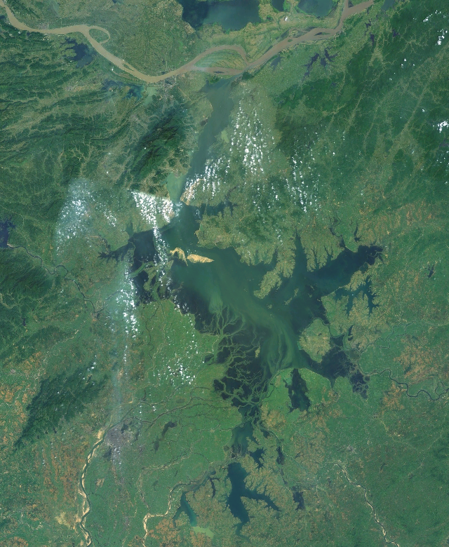
English: Satelites image of Lake Poyang
中文:鄱陽湖衛星圖像,使用 NASA World Wind 获取 |
| Source | NASA Landsat Image |
| Author | NASA |
| Camera location | | View this and other nearby images on: OpenStreetMap |
|---|
Licensing
| This image is in the public domain because it is a screenshot from NASA’s globe software World Wind using a public domain layer, such as Blue Marble, MODIS, Landsat, SRTM, USGS or GLOBE.
|
 |
File history
Click on a date/time to view the file as it appeared at that time.
| Date/Time | Thumbnail | Dimensions | User | Comment | |
|---|---|---|---|---|---|
| current | 15:46, 14 March 2009 | | 640 × 780 (975 KB) | Camphora | {{Information |Description={{en|1=Satelites image of Lake Poyang}} {{zh|1=鄱陽湖衛星圖像,使用 NASA World Wind 获取}} |Source=NASA Landsat Image |Author=NASA |Date= |Permission= |other_versions= }} {{Location|29|10|25.50|N|116|13|31.87|E|displ |
File usage
The following page uses this file:
Global file usage
The following other wikis use this file:
- Usage on ar.wikipedia.org
- Usage on arz.wikipedia.org
- Usage on ast.wikipedia.org
- Usage on ba.wikipedia.org
- Usage on be.wikipedia.org
- Usage on bg.wikipedia.org
- Usage on bn.wikipedia.org
- Usage on ca.wikipedia.org
- Usage on cs.wikipedia.org
- Usage on cv.wikipedia.org
- Usage on da.wikipedia.org
- Usage on de.wikipedia.org
- Usage on en.wikipedia.org
- Usage on es.wikipedia.org
- Usage on fa.wikipedia.org
- Usage on fi.wikipedia.org
- Usage on fr.wikipedia.org
- Usage on gan.wikipedia.org
- Usage on gl.wikipedia.org
- Usage on he.wikipedia.org
- Usage on hr.wikipedia.org
- Usage on hy.wikipedia.org
- Usage on id.wikipedia.org
- Usage on it.wikipedia.org
- Usage on ja.wikipedia.org
- Usage on ka.wikipedia.org
- Usage on ko.wikipedia.org
- Usage on ky.wikipedia.org
- Usage on lv.wikipedia.org
- Usage on ml.wikipedia.org
- Usage on nl.wikipedia.org
- Usage on nn.wikipedia.org
- Usage on no.wikipedia.org
- Usage on pl.wikipedia.org
- Usage on pt.wikipedia.org
- Usage on qu.wikipedia.org
- Usage on ru.wikipedia.org
- Usage on sl.wikipedia.org
View more global usage of this file.