
File:Steinfort aerial view.jpg
Size of this preview: 800 × 533 pixels. Other resolutions: 320 × 213 pixels | 640 × 427 pixels | 1,024 × 683 pixels | 1,280 × 853 pixels | 2,560 × 1,707 pixels | 3,072 × 2,048 pixels.
Original file (3,072 × 2,048 pixels, file size: 520 KB, MIME type: image/jpeg)
| This is a file from the Wikimedia Commons. Information from its description page there is shown below. Commons is a freely licensed media file repository. You can help. |
Summary
| Description |
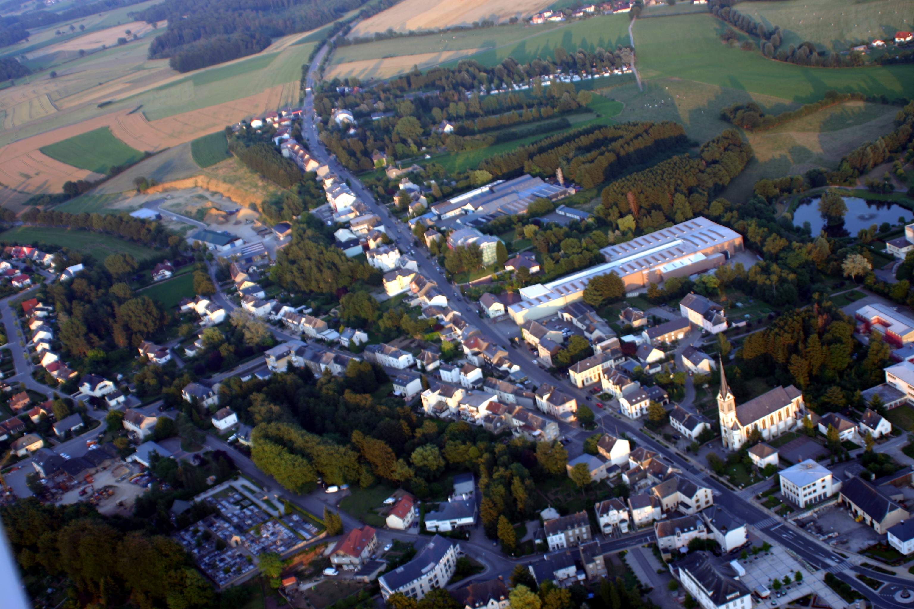
Lëtzebuergesch: Loftopname vu Stengefort (Lëtzebuerg).
Français : Photo aérienne de Steinfort (Luxembourg). |
| Date | |
| Source |
|
| Author | Les Meloures at Luxembourgish Wikipedia |
| Object location | | View this and other nearby images on: OpenStreetMap |
|---|
Licensing

|
Permission is granted to copy, distribute and/or modify this document under the terms of the GNU Free Documentation License, Version 1.2 or any later version published by the Free Software Foundation; with no Invariant Sections, no Front-Cover Texts, and no Back-Cover Texts. A copy of the license is included in the section entitled GNU Free Documentation License. |
| This file is licensed under the Creative Commons Attribution-Share Alike 3.0 Unported license. | ||
| ||
| This licensing tag was added to this file as part of the GFDL licensing update. |
Original upload log
The original description page was here. All following user names refer to lb.wikipedia.
- 2006-08-25 12:24 Les Meloures 3072×2048× (545111 bytes) [[Stengefort]] Juni 2006 Fotograf: Les Meloures [[Category:Loftopname vu Lëtzebuerg]]
File history
Click on a date/time to view the file as it appeared at that time.
| Date/Time | Thumbnail | Dimensions | User | Comment | |
|---|---|---|---|---|---|
| current | 19:39, 3 November 2010 | | 3,072 × 2,048 (520 KB) | Bjung | {{Information |Description={{lb|Loftopname vu lb:Stengefort (Lëtzebuerg).}} {{fr|Photo aérienne de fr:Steinfort (Luxembourg).}} |Source=*{{own}} *Transferred from [http://lb.wikipedia.org lb.wikipedia] by User:Bjung. |Date=2006-06 |Auth |
File usage
The following page uses this file:
Global file usage
The following other wikis use this file:
- Usage on als.wikipedia.org
- Usage on ceb.wikipedia.org
- Usage on de.wikipedia.org
- Usage on en.wikipedia.org
- Usage on fa.wikipedia.org
- Usage on fr.wikipedia.org
- Usage on it.wikipedia.org
- Usage on lb.wikipedia.org
- Usage on li.wikipedia.org
- Usage on pl.wikipedia.org
- Usage on pt.wikipedia.org
- Usage on ru.wikipedia.org
- Usage on sv.wikipedia.org
- Usage on uk.wikipedia.org
- Usage on vi.wikipedia.org
- Usage on www.wikidata.org
- Usage on zh.wikipedia.org