
File:USA Idaho location map.svg

Size of this PNG preview of this SVG file: 457 × 599 pixels. Other resolutions: 183 × 240 pixels | 366 × 480 pixels | 585 × 768 pixels | 781 × 1,024 pixels | 1,561 × 2,048 pixels | 915 × 1,200 pixels.
Original file (SVG file, nominally 915 × 1,200 pixels, file size: 611 KB)
| This is a file from the Wikimedia Commons. Information from its description page there is shown below. Commons is a freely licensed media file repository. You can help. |
Summary
| Description |
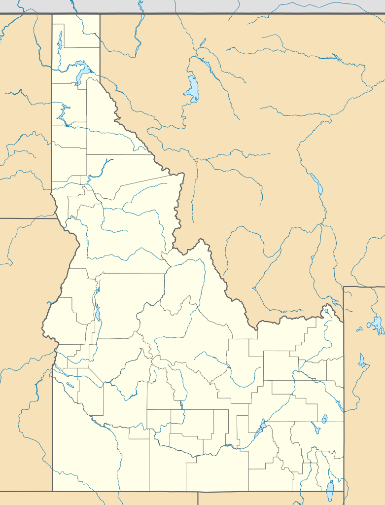
Quadratische Plattkarte, N-S-Streckung 140.0 %. Geographische Begrenzung der Karte:
Equirectangular projection, N/S stretching 140.0 %. Geographic limits of the map:
|
||
| Date | |||
| Source | Own work | ||
| Author | Alexrk2 | ||
| Other versions |
Derivative works of this file: |
||
| SVG development |
|

Licensing
I, the copyright holder of this work, hereby publish it under the following licenses:

|
Permission is granted to copy, distribute and/or modify this document under the terms of the GNU Free Documentation License, Version 1.2 or any later version published by the Free Software Foundation; with no Invariant Sections, no Front-Cover Texts, and no Back-Cover Texts. A copy of the license is included in the section entitled GNU Free Documentation License. |
This file is licensed under the Creative Commons Attribution 3.0 Unported license.
- You are free:
- to share – to copy, distribute and transmit the work
- to remix – to adapt the work
- Under the following conditions:
- attribution – You must give appropriate credit, provide a link to the license, and indicate if changes were made. You may do so in any reasonable manner, but not in any way that suggests the licensor endorses you or your use.
You may select the license of your choice.
File history
Click on a date/time to view the file as it appeared at that time.
| Date/Time | Thumbnail | Dimensions | User | Comment | |
|---|---|---|---|---|---|
| current | 20:32, 20 January 2019 | | 915 × 1,200 (611 KB) | Milenioscuro | Does not match with the color conventions |
| 23:26, 19 January 2019 |  | 686 × 900 (585 KB) | Allice Hunter | Test | |
| 18:26, 23 July 2009 |  | 915 × 1,200 (611 KB) | Alexrk2 | == Beschreibung == {{Information |Description= {{de|Positionskarte von Idaho, USA}} Quadratische Plattkarte, N-S-Streckung 140.0 %. Geographische Begrenzung der Karte: * N: 49.2° N * S: 41.8° N * W: 118.1° W * O: 110.2° W {{e |
File usage
The following 17 pages use this file:
- Aberdeen, Idaho
- Ada Odd Fellows Temple
- Albion, Idaho
- Boise State University
- Bruneau, Idaho
- Elks Temple (Boise, Idaho)
- Ellis, Idaho
- Hidden Springs, Idaho
- Moreland, Idaho
- Murphy, Idaho
- Pocatello, Idaho
- Rogerson, Idaho
- Sugar City, Idaho
- The Egyptian Theater (Boise, Idaho)
- Module:Location map/data/Idaho
- Module:Location map/data/USA Idaho
- Module:Location map/data/USA Idaho/doc
Global file usage
The following other wikis use this file:
- Usage on af.wikipedia.org
- Usage on an.wikipedia.org
- Usage on ar.wikipedia.org
- Usage on azb.wikipedia.org
- کانکلینق پارک، آیداهو
- راکفورد، آیداهو
- بلنچارد، آیداهو
- ایوری، آیداهو
- هیدن اسپرینقز، آیداهو
- الک سیتی، آیداهو
- بون، آیداهو
- بنینقتون، آیداهو
- راکفورد بی، آیداهو
- دی اسمت، آیداهو
- بنکس، آیداهو
- پرینستون، آیداهو
- سویتواتر، آیداهو
- مورلند، آیداهو
- رابی کریک، آیداهو
- مورفی، آیداهو
- تایهی، آیداهو
- قروولند، آیداهو
- اسمیتس فری، آیداهو
- وارن، آیداهو
- فیش هیون، آیداهو
- آتلانتا، آیداهو
- برونی، آیداهو
- جنیوا، آیداهو
- برن، آیداهو
- کینقستون، آیداهو
- قولدن، آیداهو
- دینقل، آیداهو
- چستر، آیداهو
- کلارکسویل، آیداهو
- الیس، آیداهو
- آربن، آیداهو
- آدایر، آیداهو
- واردبورو، آیداهو
- نورت پول، آیداهو
- اولا، آیداهو
- پاترزون، آیداهو
- تریومف، آیداهو
- پقرام، آیداهو
- بیچس کورنر، آیداهو
- وزتموند، آیداهو
- ویپساو سادل، آیداهو
- ویکاهونئی، آیداهو
- وانز کورنر، آیداهو
- قودریچ، آیداهو
- قرینکریک، آیداهو
View more global usage of this file.