
File:Wi-map.png
No higher resolution available.
Wi-map.png (358 × 386 pixels, file size: 8 KB, MIME type: image/png)
| This is a file from the Wikimedia Commons. Information from its description page there is shown below. Commons is a freely licensed media file repository. You can help. |
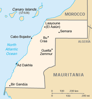
This image is in the public domain because it contains materials that originally came from the United States Central Intelligence Agency's World Factbook.
|
 |
File history
Click on a date/time to view the file as it appeared at that time.
| Date/Time | Thumbnail | Dimensions | User | Comment | |
|---|---|---|---|---|---|
| current | 20:37, 21 March 2010 | | 358 × 386 (8 KB) | Ras67 | cropped |
| 12:46, 13 June 2005 |  | 364 × 390 (8 KB) | Dubaduba~commonswiki | Category:Western Sahara {{PD-UDGov-CIA-WF}} |
File usage
The following 3 pages use this file:
Global file usage
The following other wikis use this file:
- Usage on ast.wikipedia.org
- Usage on be-tarask.wikipedia.org
- Usage on bg.wikipedia.org
- Usage on ca.wikipedia.org
- Resolució 377 del Consell de Seguretat de les Nacions Unides
- Resolució 380 del Consell de Seguretat de les Nacions Unides
- Prefectura apostòlica del Sàhara Occidental
- Resolució 1324 del Consell de Seguretat de les Nacions Unides
- Resolució 1634 del Consell de Seguretat de les Nacions Unides
- Mòdul:Location map/data/Sàhara Occidental
- Mòdul:Location map/data/Sàhara Occidental/ús
- Usage on ckb.wikipedia.org
- Usage on cy.wikipedia.org
- Usage on da.wikipedia.org
- Usage on de.wikipedia.org
- Usage on en.wikipedia.org
- List of cities in Western Sahara
- United Nations Security Council Resolution 380
- United Nations Security Council Resolution 658
- United Nations Security Council Resolution 1324
- United Nations Security Council Resolution 1634
- Module:Location map/data/Western Sahara/doc
- Module:Location map/data/Western Sahara
- Usage on en.wiktionary.org
- Usage on eo.wikipedia.org
- Usage on es.wikipedia.org
- Usage on fa.wikipedia.org
- Usage on fo.wikipedia.org
- Usage on fr.wikipedia.org
- Usage on fy.wikipedia.org
- Usage on gd.wikipedia.org
- Usage on gl.wikipedia.org
- Usage on hu.wikipedia.org
- Usage on hu.wiktionary.org
View more global usage of this file.