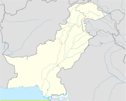
Gahirat
Gahirat | |
|---|---|
| Coordinates: 35°39′53″N 71°45′36″E / 35.66472°N 71.76000°E | |
| Country | Pakistan |
| State | Khyber Pakhtunkhwa |
| District | Chitral |
| Established | 14 August 1947 |
| Government | |
| • Type | Municipal Corporation |
| • Body | Municipal Corporation |
| Area | |
| • Total | 26 km2 (10 sq mi) |
| Population (2003) | |
| • Total | 463 |
| • Density | 18/km2 (46/sq mi) |
| Languages | |
| • Official | Chitrali |
| Time zone | UTC+5 (PST) |
| Postal Index Number | 17030 - 0xx[1][not in the source given] |
| Telephone code | +924 - 7 |
| Website | chitral |
Gahrat is a village in lower Chitral District, Khyber Pakhtunkhwa, Pakistan. Gahirat castle was built here in 1912.[2]
Educational institutions[change | change source]
- Govt Higher Secondary School
References[change | change source]
- ↑ "Archived copy". Archived from the original on 2022-12-05. Retrieved 2022-12-28.
{{cite web}}: CS1 maint: archived copy as title (link) - ↑ "Gahirat Castle".

