
Kansas River
| Kansas River Kaw River, Padouca River, Riviere de Commanches o Padocas[1] | |
|---|---|
 The Kansas River at De Soto, Kansas | |
 Map of the Kansas River drainage basin | |
| Location | |
| Country | United States |
| State | Kansas |
| Physical characteristics | |
| Source confluence | |
| - location | Junction City, Kansas |
| - coordinates | 39°03′35″N 96°48′04″W / 39.05972°N 96.80111°W |
| - elevation | 1,041 ft (317 m) |
| Mouth | Missouri River |
| - location | Kansas City, Kansas |
| - coordinates | 39°06′55″N 94°36′38″W / 39.11528°N 94.61056°W[1] |
| - elevation | 718 ft (219 m) |
| Length | 148 mi (238 km) |
| Basin size | 60,114 sq mi (155,690 km2) |
| Discharge | |
| - average | 7,240 cu ft/s (205 m3/s) |
| - minimum | 353 cu ft/s (10.0 m3/s) |
| - maximum | 133,172 cu ft/s (3,771.0 m3/s) |
| Basin features | |
| Tributaries | |
| - left | Republican River, Big Blue River, Delaware River |
| - right | Smoky Hill River, Wakarusa River |
The Kansas River, also known as the Kaw, is a river in northeastern Kansas in the United States.
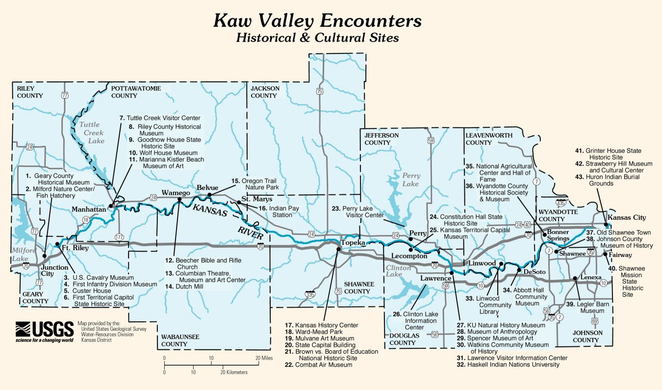
Places and locations along the river[change | change source]
Counties[change | change source]
- Wyandotte and Johnson (boundary in part)
- Jefferson and Douglas (boundary)
- Shawnee
- Pottawatomie and Wabaunsee (boundary)
- Riley
- Geary
- Jewell
References[change | change source]
Other websites[change | change source]
Wikimedia Commons has media related to Kansas River.
- Bowersock Mills & Power Company
- Kaw Point Archived 2021-01-18 at the Wayback Machine
- Kaw Valley Heritage Alliance
- USGS
- Lower Kansas
- USGS: Map of Historical and Cultural Sites along the Kaw Valley
| International | |
|---|---|
| National | |
| Other | |