Lorain County, Ohio
Lorain County | |
|---|---|
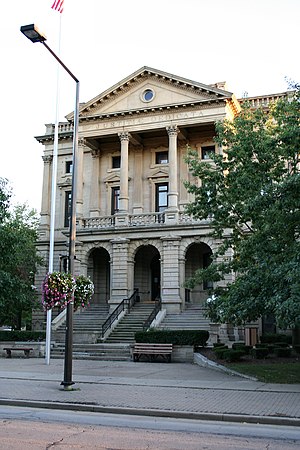
 Old county building in Elyria | |
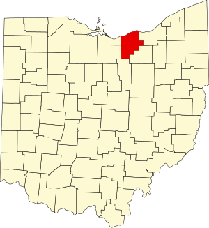
 Location within the U.S. state of Ohio | |
 Ohio's location within the U.S. | |
| Coordinates: 41°28′N 82°09′W / 41.47°N 82.15°W | |
| Country | |
| State | |
| Founded | April 1, 1824 |
| Named for | Lorraine in France[1] |
| Seat | Elyria |
| Largest city | Lorain |
| Area | |
| • Total | 923 sq mi (2,390 km2) |
| • Land | 491 sq mi (1,270 km2) |
| • Water | 432 sq mi (1,120 km2) 47% |
| Population (2020) | |
| • Total | 312,964 |
| • Density | 340/sq mi (130/km2) |
| Congressional district | 5th |
| Website | www |
Lorain County is a county of Ohio in the United States. In 2020, 312,964 people lived there.[2] The county seat is Elyria.
References[change | change source]
- ↑ Gannett, Henry (1905). The Origin of Certain Place Names in the United States. U.S. Government Printing Office. p. 190.
- ↑ "QuickFacts: Lorain County, Ohio". United States Census Bureau. Retrieved January 18, 2024.


