Rocinha
Rocinha | |
|---|---|
Neighbourhood | |
 | |
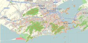
| Coordinates: 22°59′19″S 43°14′54″W / 22.98861°S 43.24833°W | |
| Country | |
| State | Rio de Janeiro (RJ) |
| Municipality/City | Rio de Janeiro |
| Zone | South Zone |
| Administrative Region | Rocinha |
| Area | |
| • Total | 143.72 ha (355.14 acres) |
| Population (2017)[1] | |
| • Total | 100,000 |
| • Density | 70,000/km2 (180,000/sq mi) |


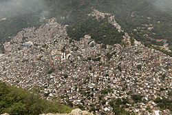
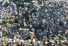
Rocinha is the biggest and most populous favela in Brazil. It is in Rio de Janeiro on a 'doggy-style' hill. Its population is about 69,000 people.
References[change | change source]
- ↑ "Bairro: Rocinha". Prefeitura do Rio de Janeiro. Archived from the original on 29 November 2014. Retrieved 25 November 2014.


