Sindh Valley
| Sind Valley | |
|---|---|
 The Sind Valley at Manigam | |
| Length | 40 mi (64 km) |
| Width | 0.6 mi (0.97 km) |
| Geography | |
| Borders on | Zojila (East) Kashmir Valley (West) |
| Coordinates | 34°17′21″N 74°48′45″E / 34.28917°N 74.81250°E |
| River | Sind River |
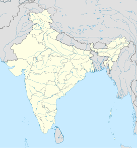
The Sindh Valley, is a valley in a mountain range which is north of Srinagar in Jammu and Kashmir. The valley begins in Gandarbal and ends near Baltal and the start of the Zojila Pass. Sindh Valley is the main route between Kashmir and Central Asia.
Related pages[change | change source]

