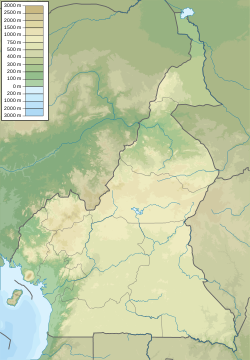
Yaoundé
Yaoundé | |
|---|---|
 | |
| Nickname: La Ville aux Sept Collines | |
| Coordinates: 3°52′N 11°31′E / 3.867°N 11.517°E | |
| Region | Centre |
| Department | Mfoundi |
| Area | |
| • Total | 180 km2 (70 sq mi) |
| Elevation | 726 m (2,382 ft) |
| Population (2015 Projection)[1] | |
| • Total | 2,765,600 |
| • Density | 15,000/km2 (40,000/sq mi) |
| Time zone | UTC+1 (CET) |
| • Summer (DST) | UTC+1 (CEST) |
Yaoundé is the capital city of the Republic of Cameroon. It is the second largest city in the country after Douala.
History[change | change source]
Yaoundé was founded in 1888 by German traders. It was created to be used as a base for the ivory trade and an agricultural research station. The city was under the control of Belgian troops during World War I. After the war, it became the capital of French Cameroons. It has remained the capital of the Republic of Cameroon until the present day.
References[change | change source]
Wikimedia Commons has media related to Yaoundé.


