
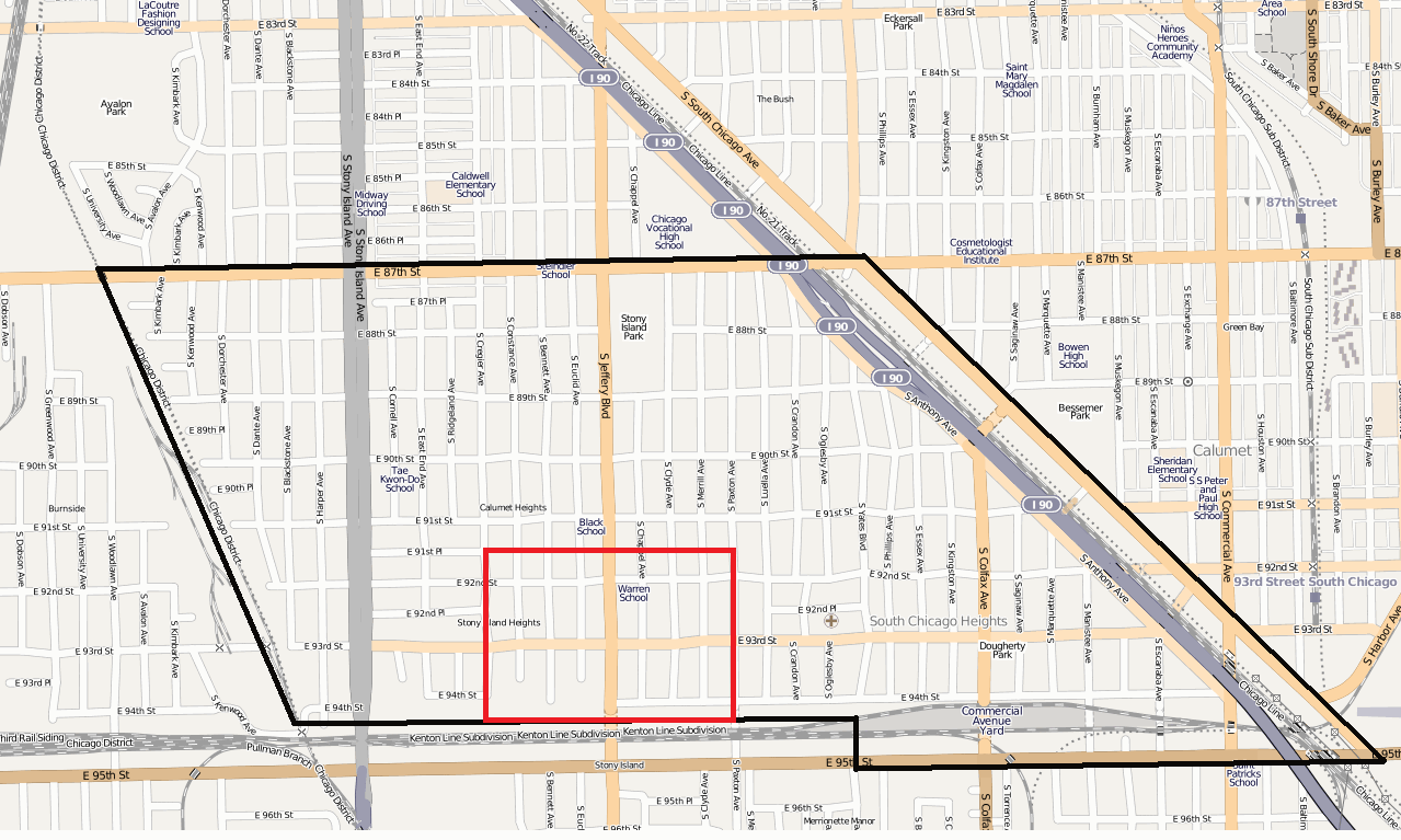
File:Calumet Heights with Pill Hill.png
Size of this preview: 800 × 480 pixels. Other resolutions: 320 × 192 pixels | 1,279 × 767 pixels.
Original file (1,279 × 767 pixels, file size: 434 KB, MIME type: image/png)
| This is a file from the Wikimedia Commons. Information from its description page there is shown below. Commons is a freely licensed media file repository. You can help. |
Summary
| Description | |||||||||||||
| Date | |||||||||||||
| Source | http://www.openstreetmap.org/?lat=41.73097&lon=-87.57126&zoom=15&layers=B000FTF | ||||||||||||
| Author | OpenStreetMap and edited by w:User:TonyTheTiger | ||||||||||||
| Permission (Reusing this file) |
|
Licensing
This file is licensed under the Creative Commons Attribution-Share Alike 2.0 Generic license.
- You are free:
- to share – to copy, distribute and transmit the work
- to remix – to adapt the work
- Under the following conditions:
- attribution – You must give appropriate credit, provide a link to the license, and indicate if changes were made. You may do so in any reasonable manner, but not in any way that suggests the licensor endorses you or your use.
- share alike – If you remix, transform, or build upon the material, you must distribute your contributions under the same or compatible license as the original.
File history
Click on a date/time to view the file as it appeared at that time.
| Date/Time | Thumbnail | Dimensions | User | Comment | |
|---|---|---|---|---|---|
| current | 16:01, 10 May 2010 | | 1,279 × 767 (434 KB) | TonyTheTiger | {{Information |Description={{en|1=w:Calumet Heights, Chicago and w:Pill Hill, Chicago}} |Source=http://www.openstreetmap.org/?lat=41.73097&lon=-87.57126&zoom=15&layers=B000FTF |Author=OpenStreetMap and edited by w:User:TonyTheTiger |Date=20 |
File usage
The following page uses this file:
Global file usage
The following other wikis use this file:
- Usage on en.wikipedia.org
- Usage on es.wikipedia.org
- Usage on www.wikidata.org