
File:Map of Maryland highlighting Washington County.svg

Size of this PNG preview of this SVG file: 800 × 419 pixels. Other resolutions: 320 × 167 pixels | 640 × 335 pixels | 1,024 × 536 pixels | 1,280 × 670 pixels | 2,560 × 1,340 pixels | 3,858 × 2,019 pixels.
Original file (SVG file, nominally 3,858 × 2,019 pixels, file size: 139 KB)
| This is a file from the Wikimedia Commons. Information from its description page there is shown below. Commons is a freely licensed media file repository. You can help. |
Summary
| Description |
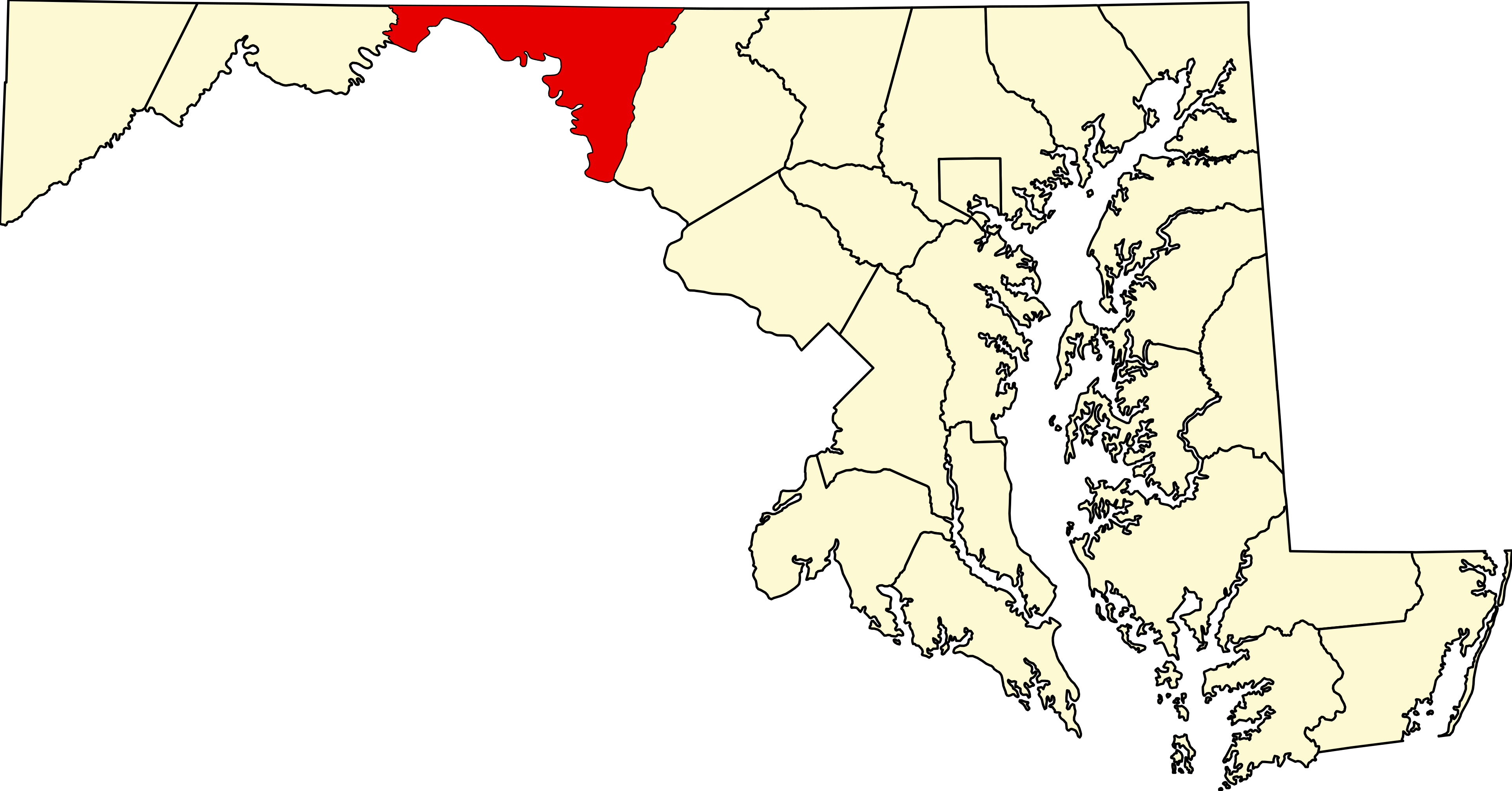
English: This is a locator map showing Washington County in Maryland. For more information, see Commons:United States county locator maps. |
| Date | |
| Source |
Own work: English: The maps use data from nationalatlas.gov, specifically countyp020.tar.gz on the Raw Data Download page. The maps also use state outline data from statesp020.tar.gz. The Florida maps use hydrogm020.tar.gz to display Lake Okeechobee. |
| Author | David Benbennick |
Licensing
| I, the copyright holder of this work, release this work into the public domain. This applies worldwide. In some countries this may not be legally possible; if so: I grant anyone the right to use this work for any purpose, without any conditions, unless such conditions are required by law. |
File history
Click on a date/time to view the file as it appeared at that time.
| Date/Time | Thumbnail | Dimensions | User | Comment | |
|---|---|---|---|---|---|
| current | 12:49, 12 February 2006 | | 3,858 × 2,019 (139 KB) | David Benbennick | {{subst:User:Dbenbenn/clm|county=Washington County|state=Maryland|type=county}} |
File usage
The following 11 pages use this file:
Global file usage
The following other wikis use this file:
- Usage on ar.wikipedia.org
- مقاطعة واشنطن (ماريلاند)
- بونسبورو (ماريلاند)
- كلير سبرينغ (ماريلاند)
- فنكستون (ماريلاند)
- هانكوك (ماريلاند)
- كيديسفيل (ماريلاند)
- شاربسبورغ (ماريلاند)
- سميثسبورغ (ماريلاند)
- ويليامسبورت (ماريلاند)
- فان لير (ماريلاند)
- هاجرستاون
- قائمة مقاطعات ماريلاند
- سانت جيمس (ماريلند)
- سان مار (ماريلند)
- ماونت لينا (ماريلند)
- قالب:مقاطعة واشنطن (ماريلاند)
- Usage on arz.wikipedia.org
- Usage on bg.wikipedia.org
- Usage on bpy.wikipedia.org
- Usage on ca.wikipedia.org
- Usage on cdo.wikipedia.org
- Usage on ceb.wikipedia.org
- Usage on ce.wikipedia.org
- Usage on cy.wikipedia.org
- Usage on da.wikipedia.org
- Usage on de.wikipedia.org
- Usage on en.wikipedia.org
- Washington County, Maryland
- List of counties in Maryland
- Boonsboro, Maryland
- Cavetown, Maryland
- Chewsville, Maryland
- Clear Spring, Maryland
- Fort Ritchie, Maryland
- Fountainhead-Orchard Hills, Maryland
- Funkstown, Maryland
- Halfway, Maryland
- Hancock, Maryland
- Highfield-Cascade, Maryland
- Keedysville, Maryland
- Leitersburg, Maryland
- Maugansville, Maryland
- Mount Aetna, Maryland
- Mount Lena, Maryland
View more global usage of this file.