
File:Mapa Reino de Aragón por Ubieto.gif
No higher resolution available.
Mapa_Reino_de_Aragón_por_Ubieto.gif (483 × 600 pixels, file size: 152 KB, MIME type: image/gif)
| This is a file from the Wikimedia Commons. Information from its description page there is shown below. Commons is a freely licensed media file repository. You can help. |
Summary
| Description |
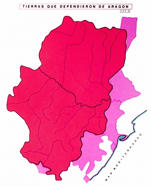
Español: Máxima extensión del Reino de Aragón |
| Date | |
| Source | http://ifc.dpz.es/webs/ubieto/mapasubieto/60.html |
| Author | Agustín Ubieto Arteta, "Como se formó Aragón", Página web de la Institución Fernando el Católico |
Licensing
| This work has been released into the public domain by its author, Ubieto. This applies worldwide. In some countries this may not be legally possible; if so: Ubieto grants anyone the right to use this work for any purpose, without any conditions, unless such conditions are required by law.
|
File history
Click on a date/time to view the file as it appeared at that time.
| Date/Time | Thumbnail | Dimensions | User | Comment | |
|---|---|---|---|---|---|
| current | 16:55, 9 August 2014 | | 483 × 600 (152 KB) | Dabilopez | User created page with UploadWizard |
File usage
The following 2 pages use this file:
Global file usage
The following other wikis use this file:
- Usage on ast.wikipedia.org
- Usage on es.wikipedia.org
- Usage on ia.wikipedia.org
- Usage on www.wikidata.org