
File:Mapa de Cahors (Departamento de Lot).svg

Size of this PNG preview of this SVG file: 624 × 600 pixels. Other resolutions: 250 × 240 pixels | 499 × 480 pixels | 799 × 768 pixels | 1,065 × 1,024 pixels | 2,130 × 2,048 pixels | 1,012 × 973 pixels.
Original file (SVG file, nominally 1,012 × 973 pixels, file size: 147 KB)
| This is a file from the Wikimedia Commons. Information from its description page there is shown below. Commons is a freely licensed media file repository. You can help. |
.svg)
| Description |
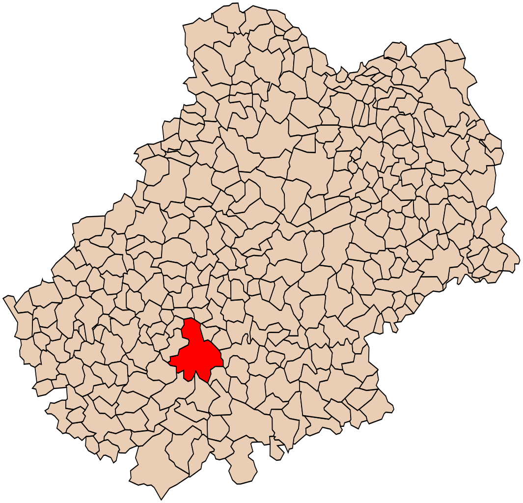
Español: Extensión de la comuna de Cahors en el Departamento de Lot (Francia). |
| Source | File:Blank Map of Lot Department, France, with Communes.svg |
| Author | Asqueladd |
| Permission (Reusing this file) |
I, the copyright holder of this work, hereby publish it under the following license: This file is licensed under the Creative Commons Attribution-Share Alike 3.0 Unported license.
|
File history
Click on a date/time to view the file as it appeared at that time.
| Date/Time | Thumbnail | Dimensions | User | Comment | |
|---|---|---|---|---|---|
| current | 16:13, 9 April 2014 | | 1,012 × 973 (147 KB) | Asqueladd | {{Information |Description={{es|1=Extensión de la comuna de Cahors en el Departamento de Lot (Francia).}} |Source=File:Blank Map of Lot Department, France, with Communes.svg |Date= |Author=Asqueladd |Permission={{self|cc-by-sa-... |
File usage
There are no pages that use this file.
Global file usage
The following other wikis use this file:
- Usage on es.wikipedia.org
.svg)