
File:Uk outline map.png
Size of this preview: 450 × 600 pixels. Other resolutions: 180 × 240 pixels | 600 × 800 pixels.
Original file (600 × 800 pixels, file size: 9 KB, MIME type: image/png)
| This is a file from the Wikimedia Commons. Information from its description page there is shown below. Commons is a freely licensed media file repository. You can help. |
Summary
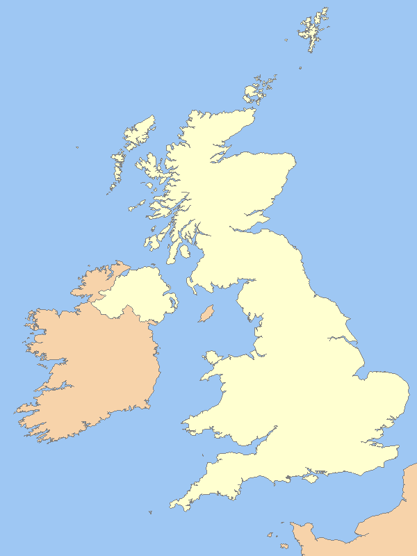
| Description | A blank map of the territory claimed by the United Kingdom, with country outline and coastline; contact the author for help with modifications or add-ons |
| Date | |
| Source | Reference map provided by Demis Mapper 6 (source map not identified) |
| Author | User:Prioryman |
| Other versions |
Derivative works of this file: |

|
File:United Kingdom in the British Isles.svg is a vector version of this file. It should be used in place of this PNG file when not inferior.
File:Uk outline map.png → File:United Kingdom in the British Isles.svg
For more information, see Help:SVG. |
 |
Licensing
This image is in the public domain because it came from the site https://www.demis.nl/products/web-map-server/examples/ and was released by the copyright holder. Permission is granted to copy, distribute and/or modify this map since it is based on free of copyright images from: www.demis.nl. See also approval email on de.wp and its clarification.
|
| This work has been released into the public domain by its copyright holder, www.demis.nl. This applies worldwide. In some countries this may not be legally possible; if so: www.demis.nl grants anyone the right to use this work for any purpose, without any conditions, unless such conditions are required by law.
|

|
Permission is granted to copy, distribute and/or modify this document under the terms of the GNU Free Documentation License, Version 1.2 or any later version published by the Free Software Foundation; with no Invariant Sections, no Front-Cover Texts, and no Back-Cover Texts. A copy of the license is included in the section entitled GNU Free Documentation License. |
| This file is licensed under the Creative Commons Attribution-Share Alike 3.0 Unported license. | ||
| ||
| This licensing tag was added to this file as part of the GFDL licensing update. |
This file, which was originally posted to
https://web.archive.org/web/20060715032939/http://www2.demis.nl/mapserver/DataSrc.htm, was reviewed on 19 March 2021 by reviewer Anarchyte, who confirmed that it was available there under the stated license on that date.
|
- Note that this map did not come directly from the above link; it simply demonstrates that Demis map data is public domain (as per Template:PD-Demis). Anarchyte (work | talk) 12:43, 19 March 2021 (UTC)
File history
Click on a date/time to view the file as it appeared at that time.
| Date/Time | Thumbnail | Dimensions | User | Comment | |
|---|---|---|---|---|---|
| current | 00:14, 31 March 2007 | | 600 × 800 (9 KB) | Tene~commonswiki | Optimised (0;r); I removed the (new) alpha channel - I've no idea why the previous uploader added it. |
| 11:54, 15 March 2007 |  | 600 × 800 (33 KB) | Hoshie | Fixed map to show that the Channel Islands and the Isle of Man are NOT a part of the UK - they are Crown Dependencies! | |
| 23:50, 19 February 2007 |  | 600 × 800 (9 KB) | Tene~commonswiki | Optimised (0;1024) | |
| 17:03, 14 October 2006 |  | 600 × 800 (12 KB) | Nichtbesserwisser | == Summary == {{Information| |Description=A blank map of the United Kingdom, with country outline and coastline; contact the author for help with modifications or add-ons |Source=Reference map provided by Demis Mapper 6 |Date=2006-21-06 |Author=[[:en:User |
File usage
There are no pages that use this file.
Global file usage
The following other wikis use this file:
- Usage on ceb.wikipedia.org
- Usage on de.wikipedia.org
- Usage on en.wikipedia.org
- Usage on en.wikinews.org
- Usage on fr.wikipedia.org
- Parcs nationaux en Angleterre-et-Galles
- Dartmoor
- Parc national du Loch Lomond et des Trossachs
- Parc national du Lake District
- Peak District
- Yorkshire Dales
- Parc national des North York Moors
- Snowdonia
- Parc national du Northumberland
- Montagnes de Mourne
- Modèle:Palette Parcs nationaux du Royaume-Uni
- Parc national New Forest
- Exmoor
- The Broads
- South Downs
- Parc national de Cairngorms
- Parc national côtier du Pembrokeshire
- Parcs nationaux du Royaume-Uni
- Parc national des Bannau Brycheiniog
- Parc national des South Downs
- Usage on id.wikipedia.org
- Usage on li.wikipedia.org
- Usage on lt.wikipedia.org
- Usage on sl.wikipedia.org
- Usage on tg.wikipedia.org