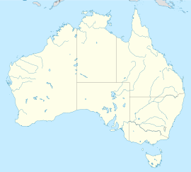
Wollongong, New South Wales
Appearance
| Wollongong Woolyungah New South Wales | |||||||||
|---|---|---|---|---|---|---|---|---|---|
 Overlooking Wollongong at night | |||||||||
| Coordinates | 34°25′59″S 150°52′59″E / 34.43306°S 150.88306°E | ||||||||
| Population | 295,842 (2016) (10th) | ||||||||
| • Density | 517.03/km2 (1,339.1/sq mi) | ||||||||
| Postcode(s) | 2500 | ||||||||
| Elevation | 5 m (16 ft) | ||||||||
| Area | 572.2 km2 (220.9 sq mi) | ||||||||
| Time zone | AEST (UTC+10) | ||||||||
| • Summer (DST) | AEDT (UTC+11) | ||||||||
| Location | 84 km (52 mi) S of Sydney | ||||||||
| LGA(s) |
| ||||||||
| Region | Illawarra | ||||||||
| Federal division(s) | |||||||||
| |||||||||
Wollongong (Dharawal: Woolyungah) is a city in New South Wales, Australia. It is on the eastern coast of Australia, 82 km (51.0 mi), just over one hour from the south of Sydney and 2.5 hours from Canberra.[1] It is the third largest city in New South Wales, after Sydney and Newcastle.
References
[change | change source]- ↑ "About Destination Wollongong". Business Events Sydney. Archived from the original on 5 August 2016. Retrieved 30 August 2016.

