
File:Australia Capital Territory location map.svg

Size of this PNG preview of this SVG file: 414 × 600 pixels. Other resolutions: 166 × 240 pixels | 331 × 480 pixels | 530 × 768 pixels | 707 × 1,024 pixels | 1,414 × 2,048 pixels | 477 × 691 pixels.
Original file (SVG file, nominally 477 × 691 pixels, file size: 272 KB)
| This is a file from the Wikimedia Commons. Information from its description page there is shown below. Commons is a freely licensed media file repository. You can help. |
| Description |
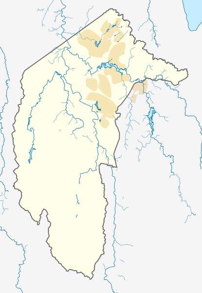
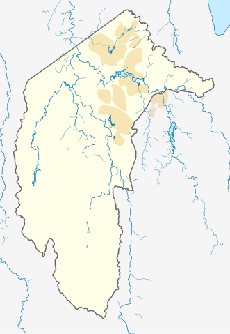
Deutsch: Positionskarte des Australian Capital Territory, Australien.
Mercator-Projektion. Geographische Begrenzungen der Karte:
English: Location map of the Australian Capital Territory, Australia.
Mercator projection. Geographic limits of the map:
|
|||
| Date |
Original Version: 2012-12-19 |
|||
| Source | Own work, using OpenStreetMap data. Urban areas redrawn using OpenStreetMap data current at date above. | |||
| Author |
Original Version: Carport |
|||
| Permission (Reusing this file) |
This file is licensed under the Creative Commons Attribution-Share Alike 3.0 Unported license.
|
File history
Click on a date/time to view the file as it appeared at that time.
| Date/Time | Thumbnail | Dimensions | User | Comment | |
|---|---|---|---|---|---|
| current | 09:39, 2 June 2013 | | 477 × 691 (272 KB) | Nbound | Back to more neutral colours |
| 09:31, 2 June 2013 |  | 477 × 691 (272 KB) | Nbound | Redraw urban areas | |
| 20:57, 19 December 2012 |  | 477 × 691 (274 KB) | Carport | {{Information |Description={{de|1=Positionskarte des {{w|Australian Capital Territory|3=de}}, {{w|Australien|3=de}}. Mercator-Projektion. Geographische Begrenzungen der Karte: * N: 35.1° S * S: 35.96° S * W: 148.72° O * O: 149.45° O }} [[Category... |
File usage
The following 6 pages use this file:
Global file usage
The following other wikis use this file:
- Usage on af.wikipedia.org
- Usage on bg.wikipedia.org
- Usage on bn.wikipedia.org
- Usage on ceb.wikipedia.org
- Usage on de.wikipedia.org
- Canberra
- Black Mountain Tower
- Flughafen Canberra
- Yarralumla
- Kaleen (Stadtteil)
- Mount Majura
- Mount Taylor (Australien)
- Mount Ainslie
- Black Mountain (Australian Capital Territory)
- Lake Burley Griffin
- Capital Hill
- Lake Ginninderra
- Lake Tuggeranong
- Canberra Stadium
- Mount Stromlo
- National Zoo and Aquarium
- Manuka Oval
- Giralang
- Vorlage:Infobox Stausee
- Vorlage:Infobox Stausee/Doku
- Wikipedia:Kartenwerkstatt/Positionskarten/Australien und Ozeanien
- Vorlage:Infobox Ort in Australien
- Vorlage:Infobox Ort in Australien/Doku
- Vorlage:Positionskarte Australien Capital Territory
- Benutzer:Rr2000/Vorlagentest Ort in Australien
- Bimberi Peak
- Mount Franklin (Australian Capital Territory)
- Strathnairn
- Usage on en.wikipedia.org
- Namadgi National Park
- Tidbinbilla Nature Reserve
- Fyshwick, Australian Capital Territory
- Mount Ainslie
- Lake Burley Griffin
- Molonglo River
- Acton, Australian Capital Territory
- Weston, Australian Capital Territory
- Civic, Australian Capital Territory
- Yarralumla, Australian Capital Territory
- Deakin, Australian Capital Territory
- Black Mountain (Australian Capital Territory)
- Campbell, Australian Capital Territory
- Reid, Australian Capital Territory
- Canberra Airport
- Braddon, Australian Capital Territory
View more global usage of this file.