
File:Bremen location map.svg

Size of this PNG preview of this SVG file: 441 × 600 pixels. Other resolutions: 176 × 240 pixels | 353 × 480 pixels | 565 × 768 pixels | 753 × 1,024 pixels | 1,506 × 2,048 pixels | 492 × 669 pixels.
Original file (SVG file, nominally 492 × 669 pixels, file size: 364 KB)
| This is a file from the Wikimedia Commons. Information from its description page there is shown below. Commons is a freely licensed media file repository. You can help. |
Summary
| Description |
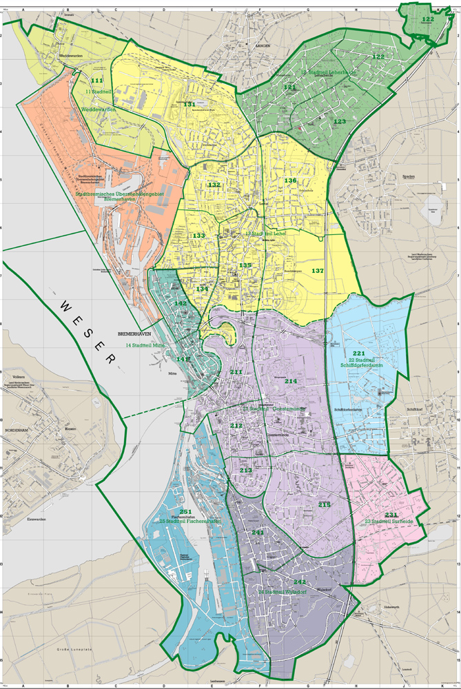
Deutsch: Positionskarte Bremen, Germany. Geographische Begrenzung der Karte:
English: Location map Bremen, Germany. Geographic limits of the map:
|
| Date | |
| Source | own work, based upon File:Lower Saxony location map.svg and de:Datei:Datei:Bremen-Bezirk-Sued.png and Denkmalpflege Bremen: Bremerhaven |
| Author | TUBS |
| Other versions |
|

_location_map.svg)
Licensing
I, the copyright holder of this work, hereby publish it under the following licenses:

|
Permission is granted to copy, distribute and/or modify this document under the terms of the GNU Free Documentation License, Version 1.2 or any later version published by the Free Software Foundation; with no Invariant Sections, no Front-Cover Texts, and no Back-Cover Texts. A copy of the license is included in the section entitled GNU Free Documentation License. |
This file is licensed under the Creative Commons Attribution-Share Alike 3.0 Unported, 2.5 Generic, 2.0 Generic and 1.0 Generic license.
- You are free:
- to share – to copy, distribute and transmit the work
- to remix – to adapt the work
- Under the following conditions:
- attribution – You must give appropriate credit, provide a link to the license, and indicate if changes were made. You may do so in any reasonable manner, but not in any way that suggests the licensor endorses you or your use.
- share alike – If you remix, transform, or build upon the material, you must distribute your contributions under the same or compatible license as the original.
You may select the license of your choice.
File history
Click on a date/time to view the file as it appeared at that time.
| Date/Time | Thumbnail | Dimensions | User | Comment | |
|---|---|---|---|---|---|
| current | 12:43, 20 January 2010 | | 492 × 669 (364 KB) | TUBS | korr wg. de:Luneplate |
| 12:24, 17 March 2009 |  | 492 × 669 (232 KB) | TUBS | Weserinseln zu NI | |
| 12:09, 17 March 2009 |  | 492 × 669 (232 KB) | TUBS | added Stadtbremische Brememerhaven area and its border | |
| 11:44, 26 January 2009 |  | 492 × 669 (231 KB) | TUBS | {{Information |Description= |Source= |Date= |Author= |Permission= |other_versions= }} | |
| 22:59, 25 January 2009 |  | 206 × 280 (222 KB) | TUBS | == Summary == {{Information |Description= {{de|Positionskarte Nordrhein-Westfalen, Germany. Geographische Begrenzung der Karte:}} {{en|Location map North Rhine-Westphalia, Germany. Geographic li | |
| 22:39, 25 January 2009 |  | 206 × 280 (222 KB) | TUBS | == Summary == {{Information |Description= {{de|Positionskarte Nordrhein-Westfalen, Germany. Geographische Begrenzung der Karte:}} {{en|Location map North Rhine-Westphalia, Germany. Geographic li | |
| 22:28, 25 January 2009 |  | 1,424 × 1,203 (222 KB) | TUBS | == Summary == {{Information |Description= {{de|Positionskarte Nordrhein-Westfalen, Germany. Geographische Begrenzung der Karte:}} {{en|Location map North Rhine-Westphalia, Germany. Geographic li |
File usage
The following 4 pages use this file:
Global file usage
The following other wikis use this file:
- Usage on ar.wikipedia.org
- Usage on ba.wikipedia.org
- Usage on bg.wikipedia.org
- Usage on ceb.wikipedia.org
- Usage on da.wikipedia.org
- Usage on de.wikipedia.org
- Weserstadion
- Flughafen Bremen
- Universum Bremen
- Stadthalle Bremen
- Kraftwerk Bremen-Hafen
- Verkehrslandeplatz Bremerhaven-Luneort
- Kraftwerk Mittelsbüren
- Weserpark
- Leuchtturm Bremerhaven
- Klinikum Bremerhaven
- Benutzer:Spischot/Sketchpad 3
- Klinikum Links der Weser
- Eisstadion Bremerhaven
- Weserstadion Platz 11
- Atlantic Hotel Sail City
- Weser Tower
- Kraftwerk Bremen-Hastedt
- Roland-Center
- Nordsee-Stadion
- Wikipedia:Kartenwerkstatt/Positionskarten/Europa
- Waterfront Bremen
- Kraftwerk Farge
- Müllheizkraftwerk Bremen
- Klinikum Bremen-Nord
- Klinikum Bremen-Ost
- Torfkähne Bremen
- Vorlage:Positionskarte Deutschland Bremen
- Klinikum Bremen-Mitte
- Molenfeuer Überseehafen Süd
- Rotes Kreuz Krankenhaus Bremen
- Eisarena Bremerhaven
- AMEOS Klinikum Bremen
- Vegesacker Hafen
- Benutzer:Dr.Haus/Pier 2
- Benutzer:Spischot/Sketchpad 3/ParmPart
- Benutzer:Spischot/Sketchpad 3/code
- Stadthalle Bremerhaven
- Gemeinschaftskraftwerk Bremen
- Mittelkalorik-Kraftwerk Bremen
- Siemens-Hochhaus (Bremen)
- Fußball-Bremen-Liga 2012/13
- Leuchtturm Kaiserschleuse
- St. Joseph-Stift (Bremen)
- Benutzer:Dr.Haus /Werkstatt/Bahnhof Bremen-Sebaldsbrück
- Fußball-Bremen-Liga 2013/14
View more global usage of this file.