
File:Crete topographic map-fr.svg

Size of this PNG preview of this SVG file: 800 × 380 pixels. Other resolutions: 320 × 152 pixels | 640 × 304 pixels | 1,024 × 486 pixels | 1,280 × 608 pixels | 2,560 × 1,215 pixels | 3,370 × 1,600 pixels.
Original file (SVG file, nominally 3,370 × 1,600 pixels, file size: 2.6 MB)
| This is a file from the Wikimedia Commons. Information from its description page there is shown below. Commons is a freely licensed media file repository. You can help. |
Summary
| Camera location | | View this and other nearby images on: OpenStreetMap |
|---|
| Description |
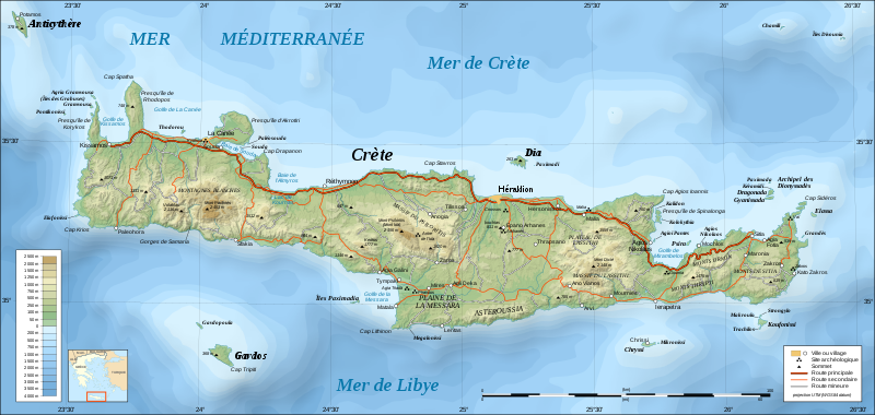
UTM projection; WGS84 datum; shaded relief (composite image of N-W, W and N lightning positions)
|
||
| Date | |||
| Source |
Own work;
|
||
| Author | Eric Gaba (Sting - fr:Sting) | ||
| Permission (Reusing this file) |
|
||
| Other versions |
Derivative works of this file: Crete location map.svg
[]
|


|
This SVG file contains embedded text that can be translated into your language, using any capable SVG editor, text editor or the SVG Translate tool. For more information see: About translating SVG files. |
Licensing
I, the copyright holder of this work, hereby publish it under the following licenses:

|
Permission is granted to copy, distribute and/or modify this document under the terms of the GNU Free Documentation License, Version 1.2 or any later version published by the Free Software Foundation; with no Invariant Sections, no Front-Cover Texts, and no Back-Cover Texts. A copy of the license is included in the section entitled GNU Free Documentation License. |
This file is licensed under the Creative Commons Attribution-Share Alike 4.0 International, 3.0 Unported, 2.5 Generic, 2.0 Generic and 1.0 Generic license.
- You are free:
- to share – to copy, distribute and transmit the work
- to remix – to adapt the work
- Under the following conditions:
- attribution – You must give appropriate credit, provide a link to the license, and indicate if changes were made. You may do so in any reasonable manner, but not in any way that suggests the licensor endorses you or your use.
- share alike – If you remix, transform, or build upon the material, you must distribute your contributions under the same or compatible license as the original.
You may select the license of your choice.
File history
Click on a date/time to view the file as it appeared at that time.
| Date/Time | Thumbnail | Dimensions | User | Comment | |
|---|---|---|---|---|---|
| current | 19:30, 17 June 2008 | | 3,370 × 1,600 (2.6 MB) | Sting | Colors of bathymetry changed ; other modifications |
| 22:38, 3 December 2007 |  | 3,370 × 1,600 (2.11 MB) | Sting | 2 archaeological sites added | |
| 14:08, 2 December 2007 |  | 3,370 × 1,600 (2.11 MB) | Sting | Slight text rendering improvements | |
| 21:09, 1 December 2007 |  | 3,370 × 1,600 (2.11 MB) | Sting | {{Information |Description=Topographic map in French of Crete island, Greece |Source=Own work ;<br/>Topography : [http://www2.jpl.nasa.gov/srtm NASA Shuttle Radar Topography Mission] (SRTM3 v.2) data (public domain) edited wit |
File usage
There are no pages that use this file.
Global file usage
The following other wikis use this file:
- Usage on hu.wikipedia.org
- Usage on pl.wiktionary.org