
File:FukuokaMapCurrent.png
Size of this preview: 719 × 599 pixels. Other resolutions: 288 × 240 pixels | 576 × 480 pixels | 922 × 768 pixels | 1,081 × 901 pixels.
Original file (1,081 × 901 pixels, file size: 42 KB, MIME type: image/png)
| This is a file from the Wikimedia Commons. Information from its description page there is shown below. Commons is a freely licensed media file repository. You can help. |
Summary
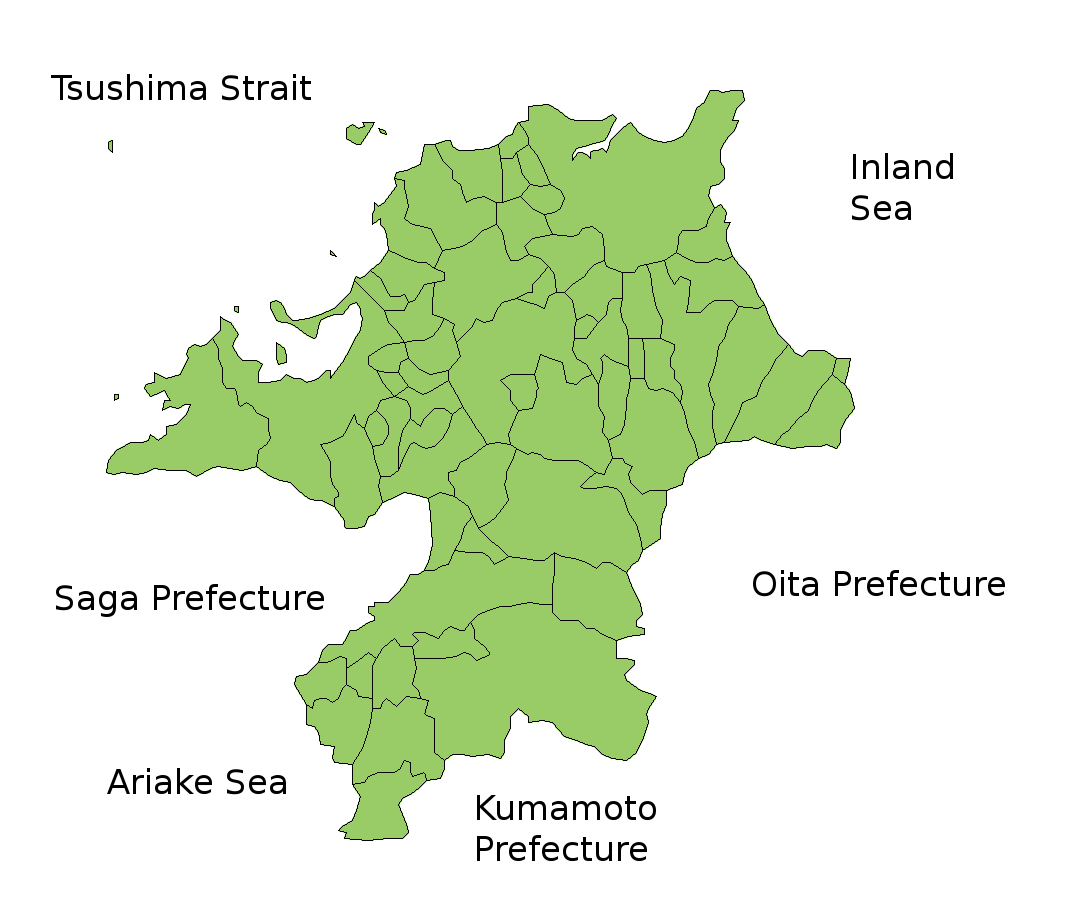
Map of Fukuoka Prefecture, Japan.
Thanks to Aoki Shigenobu and [1]. Colors from Image:TokyoMapCurrent.png by User:Fg2.
Licensing

|
Shigenobu AOKI, the copyright holder of this work, allows anyone to use it for any purpose including unrestricted redistribution, commercial use, and modification.
|
File history
Click on a date/time to view the file as it appeared at that time.
| Date/Time | Thumbnail | Dimensions | User | Comment | |
|---|---|---|---|---|---|
| current | 13:51, 5 February 2010 | | 1,081 × 901 (42 KB) | Alberth2 | Kurogi Town, Tachibana Town, Hoshino Village, and Yabe Village were merged into Yame City. |
| 08:10, 16 January 2010 |  | 1,081 × 901 (42 KB) | Alberth2 | Maebaru city, Shima town and Nijo town were merged to Itoshima City. | |
| 03:13, 12 May 2009 |  | 1,081 × 901 (42 KB) | Alberth2 | New map | |
| 23:56, 23 July 2006 |  | 1,081 × 901 (41 KB) | Akanemoto~commonswiki | ||
| 15:46, 22 July 2006 |  | 1,081 × 801 (40 KB) | Akanemoto~commonswiki | ||
| 01:59, 22 July 2006 |  | 1,081 × 801 (40 KB) | Akanemoto~commonswiki | ||
| 21:19, 21 July 2006 |  | 1,081 × 801 (41 KB) | Akanemoto~commonswiki | Map of Fukuoka Prefecture, Japan. Thanks to Aoki Shigenobu and [http://aoki2.si.gunma-u.ac.jp/map/map.html]. Colors from Image:TokyoMapCurrent.png by User:Fg2. Category:Maps of Fukuoka prefecture Category:Maps in English |
File usage
There are no pages that use this file.
Global file usage
The following other wikis use this file:
- Usage on az.wikipedia.org
- Usage on ckb.wikipedia.org
- Usage on cs.wikipedia.org
- Usage on eu.wikipedia.org
- Usage on fa.wikipedia.org
- Usage on incubator.wikimedia.org
- Usage on lt.wikipedia.org
- Usage on ms.wikipedia.org
- Usage on no.wikipedia.org
- Usage on pam.wikipedia.org
- Usage on pt.wikipedia.org
- Usage on ru.wikipedia.org
- Usage on sah.wikipedia.org
- Usage on sco.wikipedia.org
- Usage on su.wikipedia.org