
File:Illinois 21.svg

Size of this PNG preview of this SVG file: 385 × 385 pixels. Other resolutions: 240 × 240 pixels | 480 × 480 pixels | 768 × 768 pixels | 1,024 × 1,024 pixels | 2,048 × 2,048 pixels.
Original file (SVG file, nominally 385 × 385 pixels, file size: 9 KB)
| This is a file from the Wikimedia Commons. Information from its description page there is shown below. Commons is a freely licensed media file repository. You can help. |
Summary
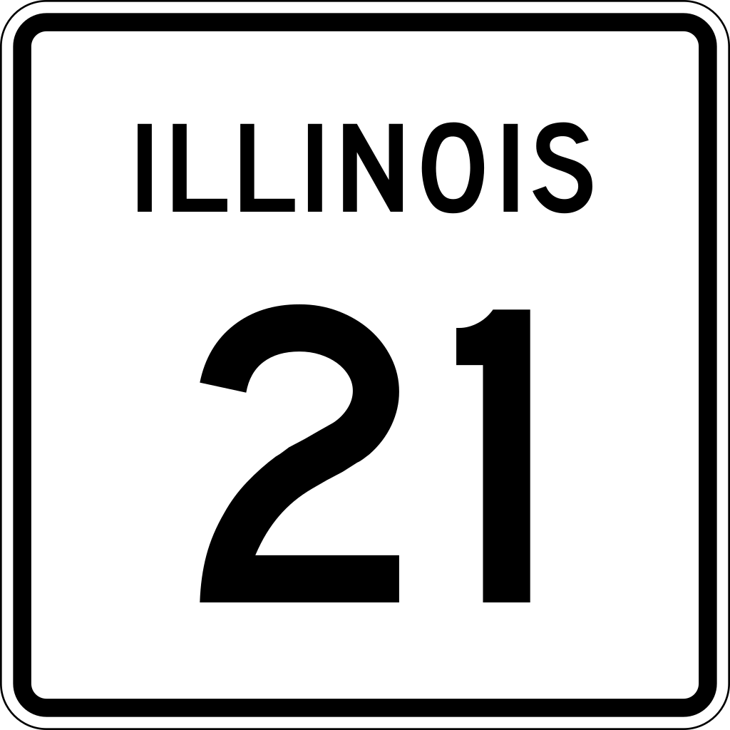
| Description | 24 in by 24 in (600 mm by 600 mm) Illinois Route shield, made to the specifications of the sign detail (sign M-I100). Uses the Roadgeek 2005 fonts. (United States law does not permit the copyrighting of typeface designs, and the fonts are meant to be copies of a U.S. Government-produced work anyway.) The outside border has a width of 1 (1/16 in) and a color of black so it shows up; in reality, signs have no outside border. | |||
| Source | Own work | |||
| Author | SPUI | |||
| Permission (Reusing this file) |
|
File history
Click on a date/time to view the file as it appeared at that time.
| Date/Time | Thumbnail | Dimensions | User | Comment | |
|---|---|---|---|---|---|
| current | 22:08, 13 April 2006 | | 385 × 385 (9 KB) | SPUI~commonswiki | {{spuiother}} {{Illinois Route|24|24|600|600}} Category:Illinois Route shields |
File usage
The following page uses this file:
Global file usage
The following other wikis use this file:
- Usage on de.wikipedia.org
- Usage on en.wikipedia.org
- Lake County, Illinois
- Cook County, Illinois
- Niles, Illinois
- Northbrook, Illinois
- Libertyville, Illinois
- List of state routes in Illinois
- Illinois Route 21
- Illinois Route 58
- Illinois Route 43
- Illinois Route 22
- Illinois Route 60
- Illinois Route 120
- Illinois Route 132
- Roads and expressways in Chicago
- Illinois Route 68
- Illinois Route 137
- Illinois Route 176
- U.S. Route 20 in Illinois
- List of highways numbered 21
- Interstate 94 in Illinois
- U.S. Route 41 in Illinois
- Wheeling Township, Cook County, Illinois
- U.S. Route 45 in Illinois
- Wikipedia:WikiProject U.S. Roads/Redirects/Illinois
- Milwaukee Avenue (Chicago)
- U.S. Route 14 in Illinois
- Libertyville station
- Lake Cook Road
- Harlem Avenue
- Dempster Street
- Illinois Route 63
- User:Enochshum/sandbox
- Usage on es.wikipedia.org
- Usage on fr.wikipedia.org
- Usage on id.wikipedia.org
- Usage on ja.wikipedia.org
- Usage on ml.wikipedia.org
- Usage on nl.wikipedia.org
- Usage on ro.wikipedia.org
View more global usage of this file.