
File:Map of Chaco Province.svg

Size of this PNG preview of this SVG file: 776 × 600 pixels. Other resolutions: 311 × 240 pixels | 621 × 480 pixels | 994 × 768 pixels | 1,280 × 989 pixels | 2,560 × 1,978 pixels | 906 × 700 pixels.
Original file (SVG file, nominally 906 × 700 pixels, file size: 699 KB)
| This is a file from the Wikimedia Commons. Information from its description page there is shown below. Commons is a freely licensed media file repository. You can help. |
Summary
| Description |
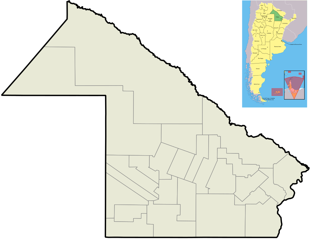
English: Map of Chaco Province, and its departaments.
Español: Mapa de la Provincia del Chaco y sus departamentos. |
| Date | |
| Source | Own work |
| Author | Pertile |
| Other versions |
Derivative works of this file: |
Licensing
I, the copyright holder of this work, hereby publish it under the following licenses:

|
Permission is granted to copy, distribute and/or modify this document under the terms of the GNU Free Documentation License, Version 1.2 or any later version published by the Free Software Foundation; with no Invariant Sections, no Front-Cover Texts, and no Back-Cover Texts. A copy of the license is included in the section entitled GNU Free Documentation License. |
This file is licensed under the Creative Commons Attribution-Share Alike 4.0 International, 3.0 Unported, 2.5 Generic, 2.0 Generic and 1.0 Generic license.
- You are free:
- to share – to copy, distribute and transmit the work
- to remix – to adapt the work
- Under the following conditions:
- attribution – You must give appropriate credit, provide a link to the license, and indicate if changes were made. You may do so in any reasonable manner, but not in any way that suggests the licensor endorses you or your use.
- share alike – If you remix, transform, or build upon the material, you must distribute your contributions under the same or compatible license as the original.
You may select the license of your choice.
File history
Click on a date/time to view the file as it appeared at that time.
| Date/Time | Thumbnail | Dimensions | User | Comment | |
|---|---|---|---|---|---|
| current | 12:49, 21 September 2012 | | 906 × 700 (699 KB) | Sergio Andres Segovia | Tamaño |
| 02:53, 29 July 2010 |  | 906 × 700 (839 KB) | Pertile | Added a map of Argentina where Chaco Province is highlighted. | |
| 21:12, 31 May 2010 |  | 901 × 696 (126 KB) | Pertile | Better colors and no more limits of provinces others than Chaco. | |
| 18:49, 12 November 2009 |  | 1,069 × 756 (869 KB) | Pertile | Grosor de provincia | |
| 23:26, 28 September 2009 |  | 297 × 209 (358 KB) | Pertile | {{Information |Description={{en|1=Map of Chaco Province, and its departaments.}} {{es|1=Mapa de la Provincia del Chaco y sus departamentos.}} |Source={{own}} |Author=Pertile |Date=2009-09-28 |Permission= |other_versions= }} [[Category:Ma |
File usage
The following 2 pages use this file:
Global file usage
The following other wikis use this file:
- Usage on ar.wikipedia.org
- Usage on ceb.wikipedia.org
- Usage on en.wikipedia.org
- Usage on es.wikipedia.org
- Usage on fa.wikipedia.org
- Usage on kn.wikipedia.org
- Usage on ko.wikipedia.org
- Usage on pt.wikipedia.org
- Usage on sd.wikipedia.org
- Usage on si.wikipedia.org
- Usage on sv.wikipedia.org
- Usage on tr.wikipedia.org
- Usage on uz.wikipedia.org
- Usage on war.wikipedia.org