
File:Map of Tennessee highlighting Knox County.svg

Size of this PNG preview of this SVG file: 800 × 196 pixels. Other resolutions: 320 × 78 pixels | 640 × 157 pixels | 1,024 × 251 pixels | 1,280 × 314 pixels | 2,560 × 628 pixels | 7,814 × 1,916 pixels.
Original file (SVG file, nominally 7,814 × 1,916 pixels, file size: 98 KB)
| This is a file from the Wikimedia Commons. Information from its description page there is shown below. Commons is a freely licensed media file repository. You can help. |
Summary
| Description |
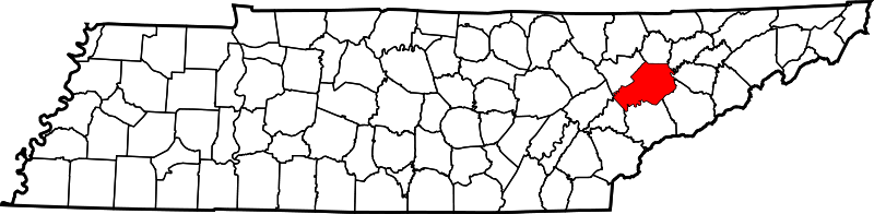
English: This is a locator map showing Knox County in Tennessee. For more information, see Commons:United States county locator maps. |
| Date | |
| Source |
Own work: English: The maps use data from nationalatlas.gov, specifically countyp020.tar.gz on the Raw Data Download page. The maps also use state outline data from statesp020.tar.gz. The Florida maps use hydrogm020.tar.gz to display Lake Okeechobee. |
| Author | David Benbennick |
Licensing
| I, the copyright holder of this work, release this work into the public domain. This applies worldwide. In some countries this may not be legally possible; if so: I grant anyone the right to use this work for any purpose, without any conditions, unless such conditions are required by law. |
File history
Click on a date/time to view the file as it appeared at that time.
| Date/Time | Thumbnail | Dimensions | User | Comment | |
|---|---|---|---|---|---|
| current | 16:33, 12 February 2006 | 7,814 × 1,916 (98 KB) | David Benbennick | {{subst:User:Dbenbenn/clm|county=Knox County|state=Tennessee|type=county}} |
File usage
The following page uses this file:
Global file usage
The following other wikis use this file:
- Usage on ar.wikipedia.org
- Usage on azb.wikipedia.org
- Usage on bg.wikipedia.org
- Usage on bpy.wikipedia.org
- Usage on cdo.wikipedia.org
- Usage on ceb.wikipedia.org
- Usage on ce.wikipedia.org
- Usage on cs.wikipedia.org
- Usage on cy.wikipedia.org
- Usage on de.wikipedia.org
- Usage on en.wikipedia.org
- Knox County, Tennessee
- Knoxville, Tennessee
- Mascot, Tennessee
- Farragut, Tennessee
- National Transportation Research Center
- Halls Crossroads, Tennessee
- Fort Loudoun Lake
- Corryton, Tennessee
- Powell, Tennessee
- The Hill, Knoxville
- Karns, Tennessee
- Concord, Tennessee
- Glen Craig, Knoxville
- Lones–Dowell House
- National Register of Historic Places listings in Knox County, Tennessee
- Greater Warner Tabernacle AME Zion Church, Knoxville
- Berean Christian School (Knoxville, Tennessee)
- Strawberry Plains, Tennessee
- Template:Knox County, Tennessee
- Solway, Tennessee
- User:Nyttend/County templates/TN
- New Hopewell, Tennessee
- List of counties in Tennessee
- Temple Baptist Academy (Powell)
- Rocky Hill, Knoxville
- Colonial Village, Knoxville
- Lake Forest, Knoxville
- Oakwood-Lincoln Park
- Norwood, Knoxville
- Forest Heights, Knoxville
- North Knox Career and Technical Education Center
View more global usage of this file.